
Happy Travel Tuesday, ya’ll! I’m continuing to share from when Rob and I were in Colorado for a work conference. This was an epic day. Rob finished up with his conference that morning, we booked it over to Pikes Peak, which you can read about >>> Pros and Cons of Driving up Pikes Peak. Up until November 2017, you had the choice to drive or ride the Cog Railway up. However that have since been renovating the Cog Railway and it looks like it will open back up in 2021!
More Sight Seeing in Colorado Springs, CO
My camera (Canon EOS 6D DSLR Camera ) had a GPS inside and tags each picture with the GPS coordinates, which I absolutely love! I’ve included coordinates with a link for many of the pictures so you can see on a map exactly where we were when I took the picture. I also put the coordinates on the map below, which you can zoom in on by using the plus sign on the left of the map. You can click on each number and see the picture that included here in the post.
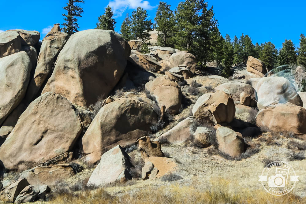
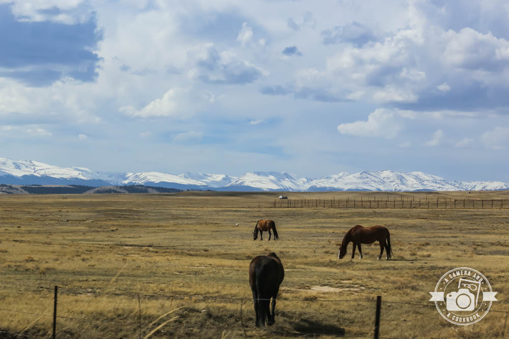
Not long after leaving Pikes Peak
38°56’0.972″ N 105°13’4.536″ W – (Blue Map #1)
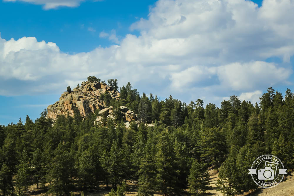
39°2’17.058″ N 105°31’25.848″ W – (Blue Map #2)
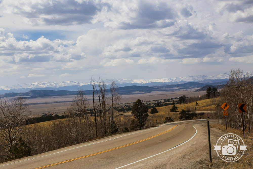
Beautiful 39°2’46.782″ N 105°39’35.184″ W – (Blue Map #3)
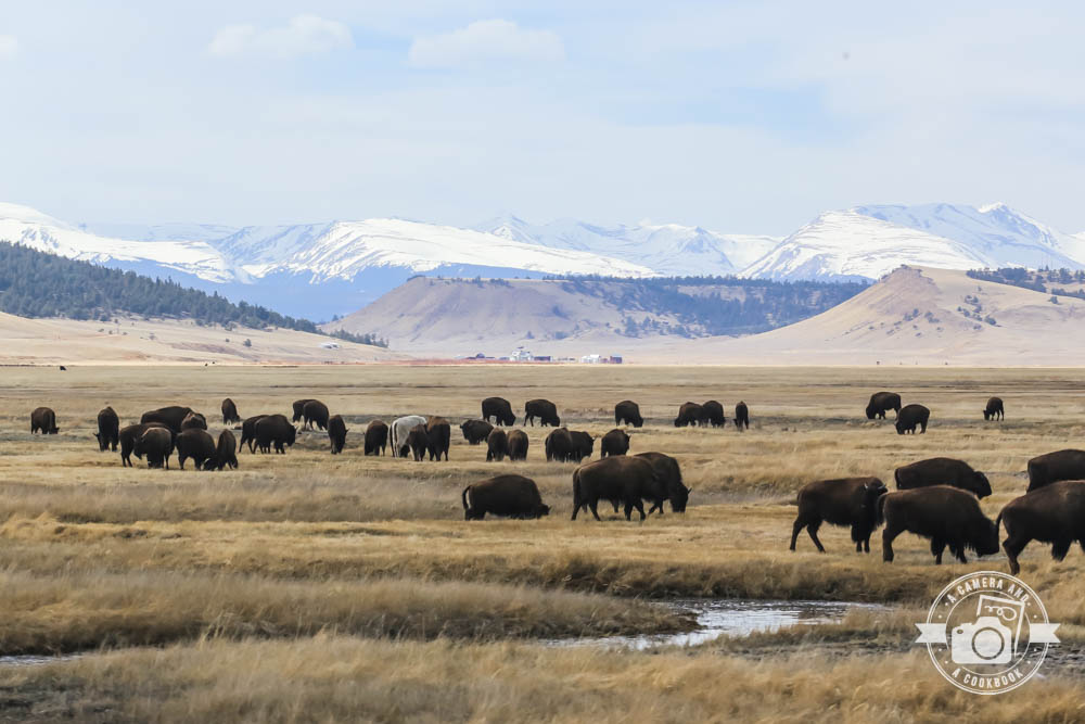
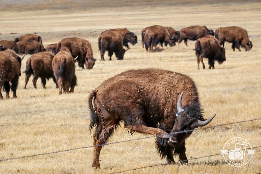
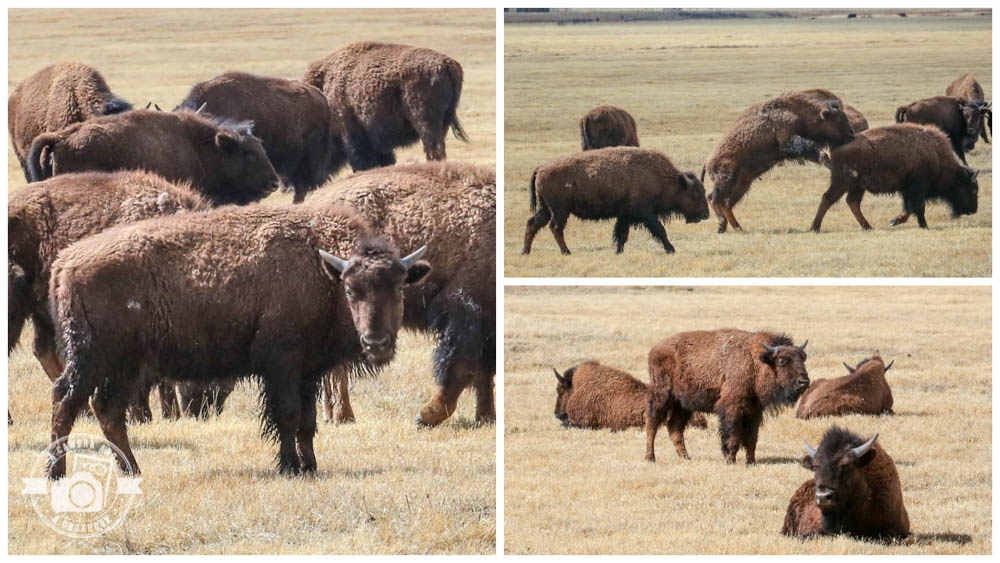
As we rolled along Hwy 24, we saw this field full of Bison. Rob pulled over so I could get some shots of them. They were fun to watch. 39°1’45.828″ N 105°46’18.936″ W – (Blue Map #4)
38°50’27.834″ N 106°0’2.994″ W – (Blue Map #5)
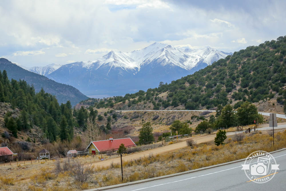
38°49’36.336″ N 106°2’36.876″ W – (Bllue Map #6)
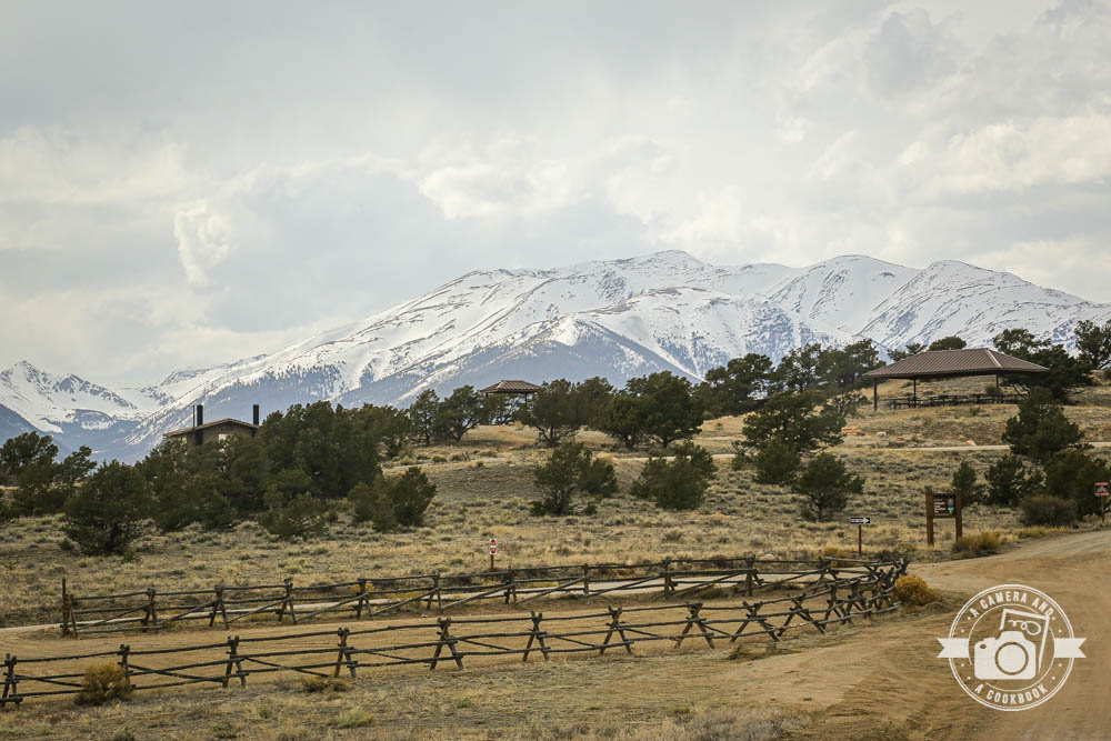
38°48’59.64″ N 106°5’5.574″ W – (Blue Map #7) – near Collegiate Peaks Overlook
39°2’9.924″ N 106°15’36.744″ W – (Blue Map #8)
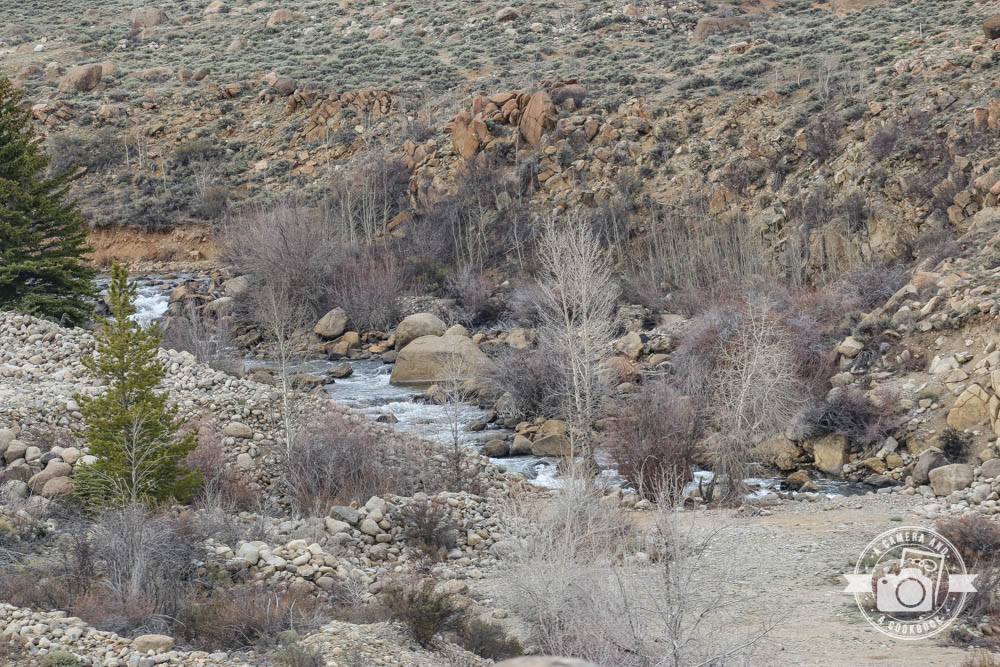
39°5’36.852″ N 106°21’59.43″ W – This pic and the next on were taken not far from the Colorado Trail – (Blue Map #9)
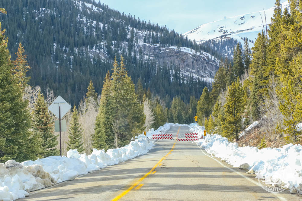
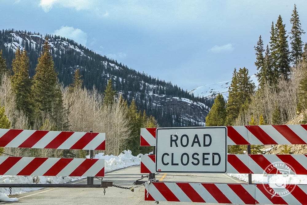
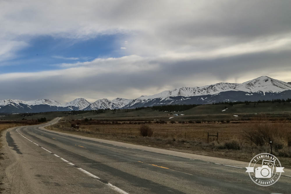
We were soaking in all the beauty of the Rockies as we drove and then we came to the road barricade. We knew we would probably hit the closed road section, because we saw the signs and the warnings on Google. However, Rob was curious to see how far we could get. We were really trying to make it to Independence Pass, but were stopped just a couple miles short of it. We parked our car at the barricade and walked a little ways before turning around and heading back. Such a bummer!
39°4’8.418″ N 106°30’38.742″ W – (Blue Map #10)
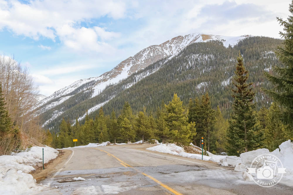
39°5’8.274″ N 106°32’26.304″ W – (Blue Map #11)
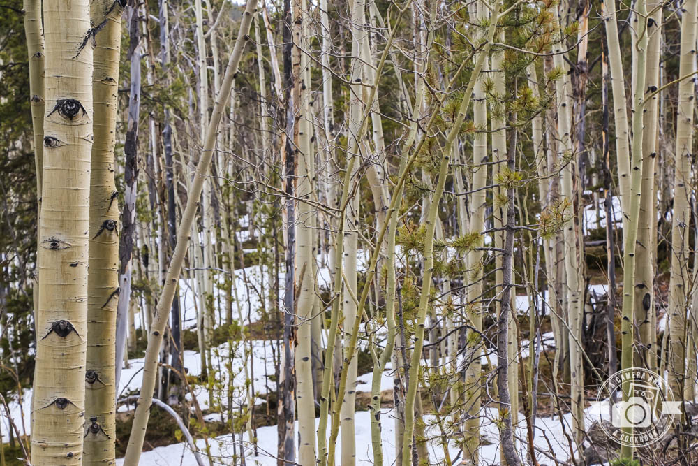
39°4’2.718″ N 106°29’59.886″ W – (Yellow Map #1) – close to La Plata Gulch Trailhead
39°4’42.168″ N 106°23’35.442″ W – (Yellow Map #2)
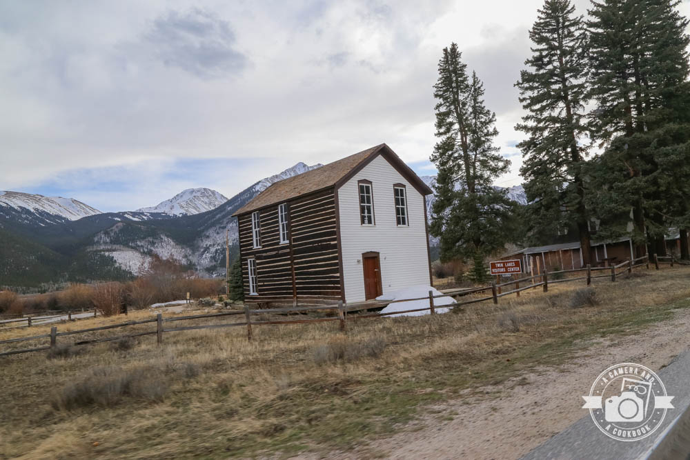
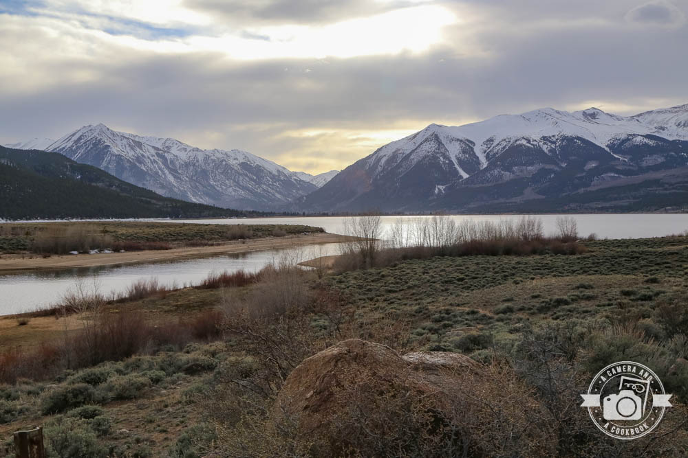
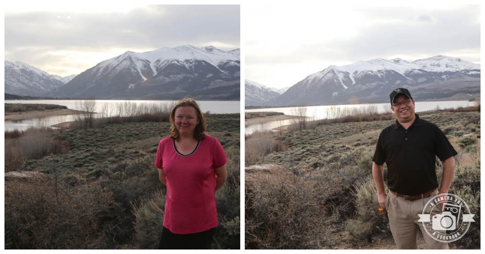
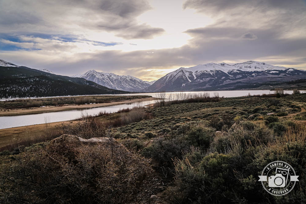
39°5’33.084″ N 106°19’4.62″ W – (Yellow Map #3) – This is at Twin Lakes. The Colorado Trail runs right by this lake.
39°10’22.434″ N 106°19’18.486″ W – (Yellow Map #4)
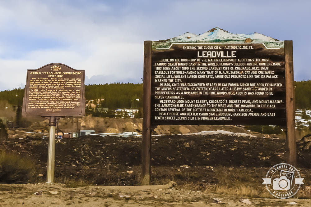
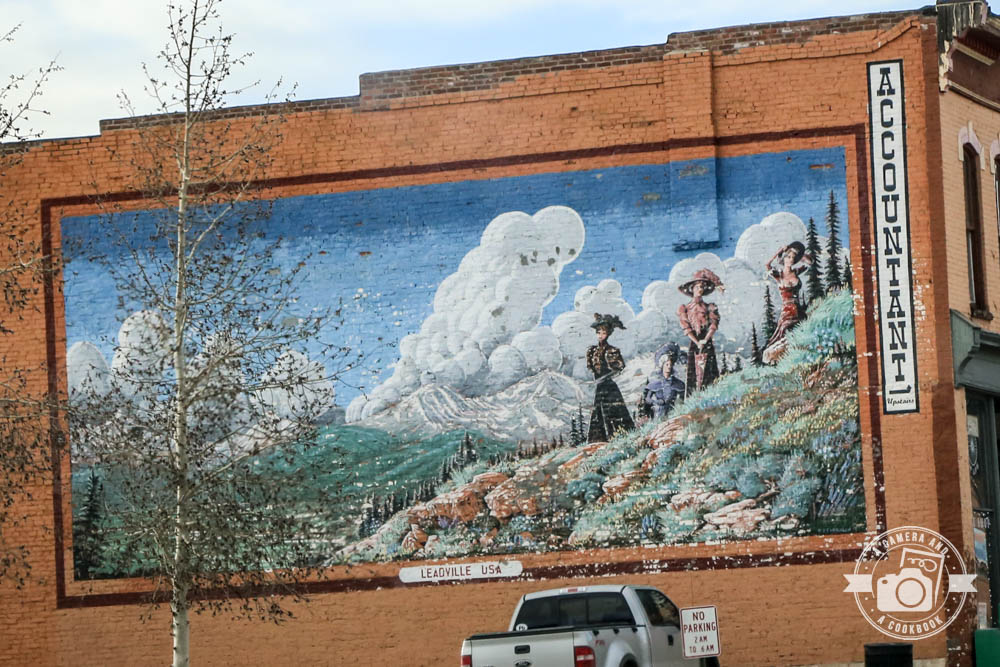
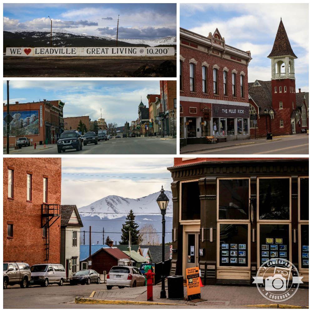
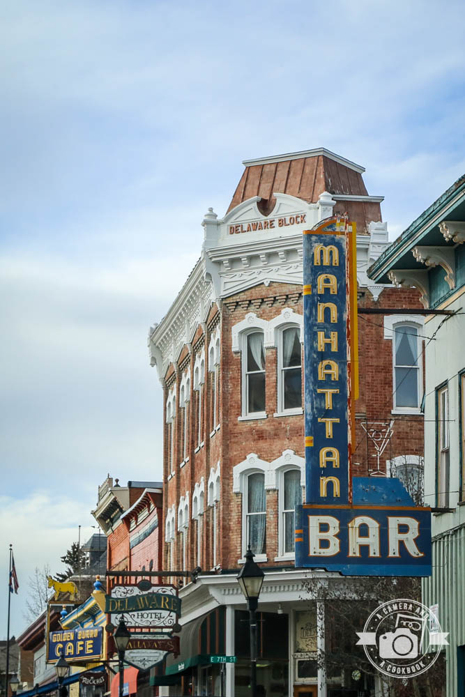
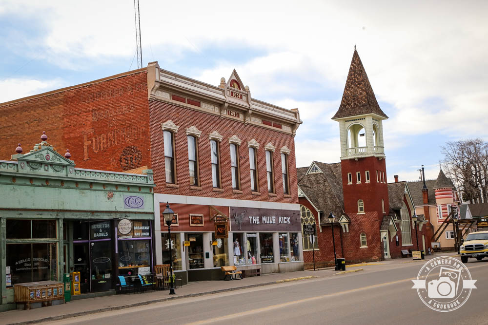
Leadville has the highest elevation of any city in the United States. Its also notable for having many 14,000 foot peaks viewable from town. The next 5 pictures were all taken in downtown Leadville at these coordinates: 39°14’26.778″ N 106°17’57.414″ W – (Yellow Map #5)
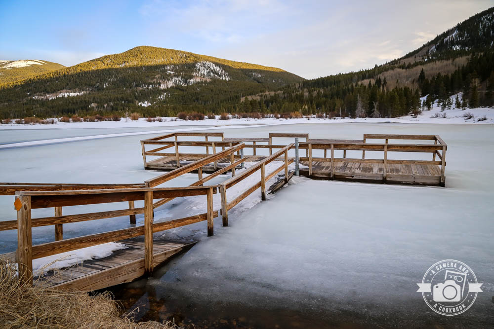
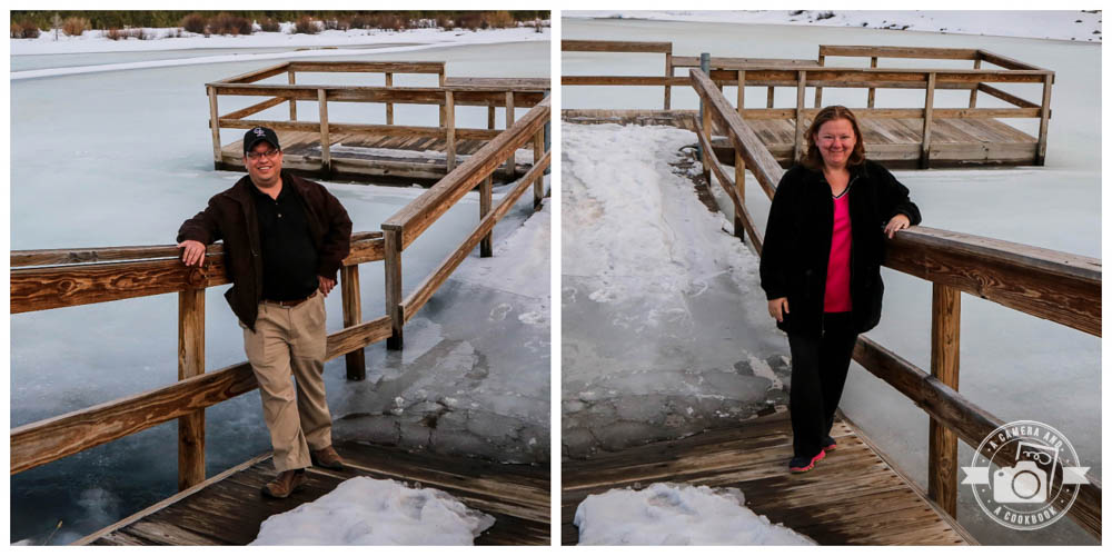
We happened up on this frozen lake. I don’t think I’ve ever seen a frozen lake before. So cool. The poor dock got swallowed up by the ice. 39°25’30.528″ N 106°19’14.736″ W – (Yellow Map #6)
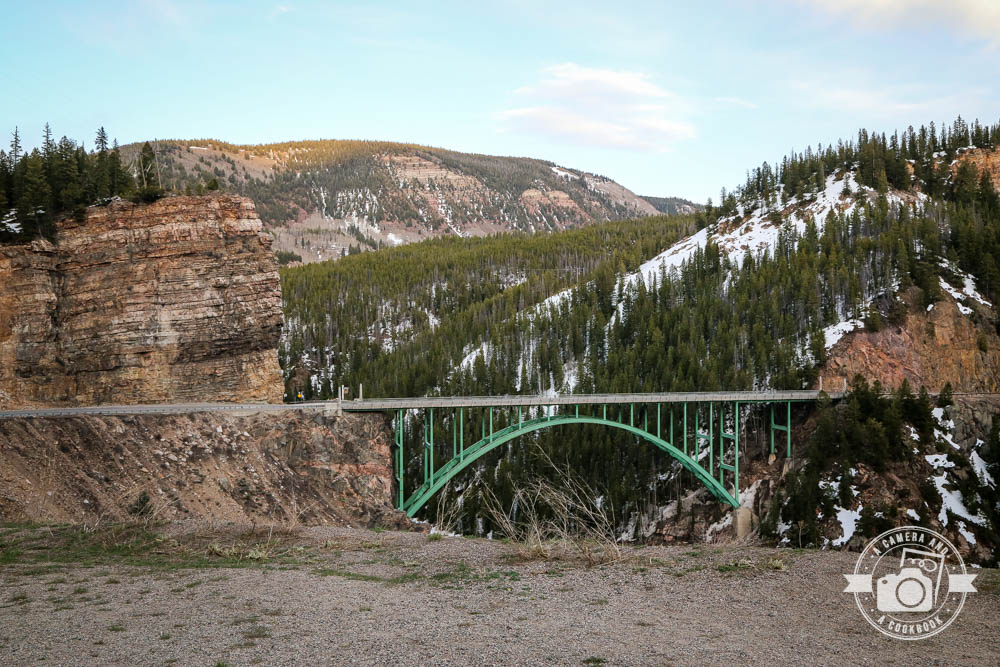
This was taken at the The Green Bridge Overlook at 39°30’33.624″ N 106°22’44.814″ W – (Yellow Map #7) This would be so beautiful dusted with snow.
It had started to get dark and decided we needed to find a place to eat and place to stay for the night. We ended up at Ticino’s Italian Restaurant in Avon, Colorado. 39°38’5.53″ N 106°31’28.03″ W

See all the pics from that day>>>>Colorado Trip – Day 6
I appreciate those of you who take time to read about our trip. I’m about to start working on Day 7 of this trip when we visit Wyoming for the first time. I’m getting so close to be caught up with all our travel posts. Thanks, COVID!
Pingback: Exploring North Colorado & South Wyoming - A Camera and A Cookbook