
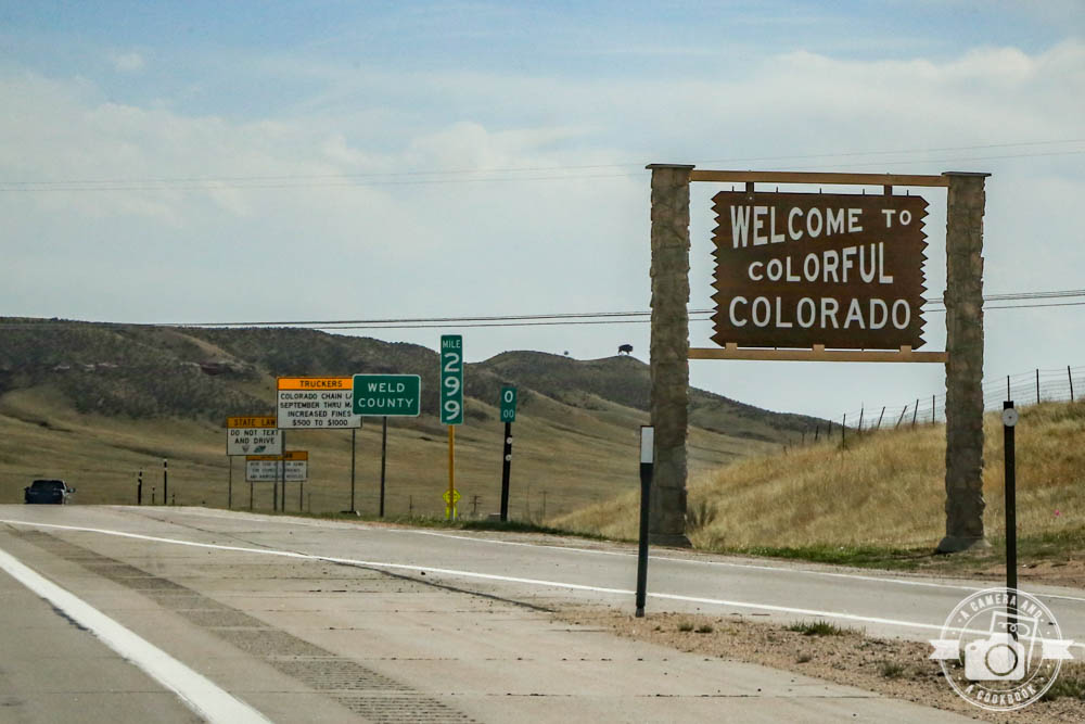
I’m continuing with my COVID – no travel – catch up on my previous travel posts – post! Ha! If that makes any sense. So in my last travel post, Rob and I drove from Pikes Peak to Avon, Colorado. 39°38’5.53″ N 106°31’28.03″ W – (Map #1)
For this post you will find the GPS coordinates that are linked so that you can see the exact location that most pictures are taken. You can also click on the numbers on the interactive map below:
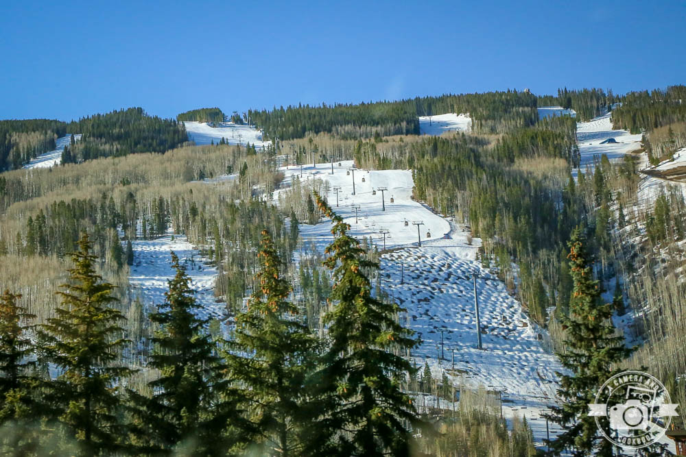
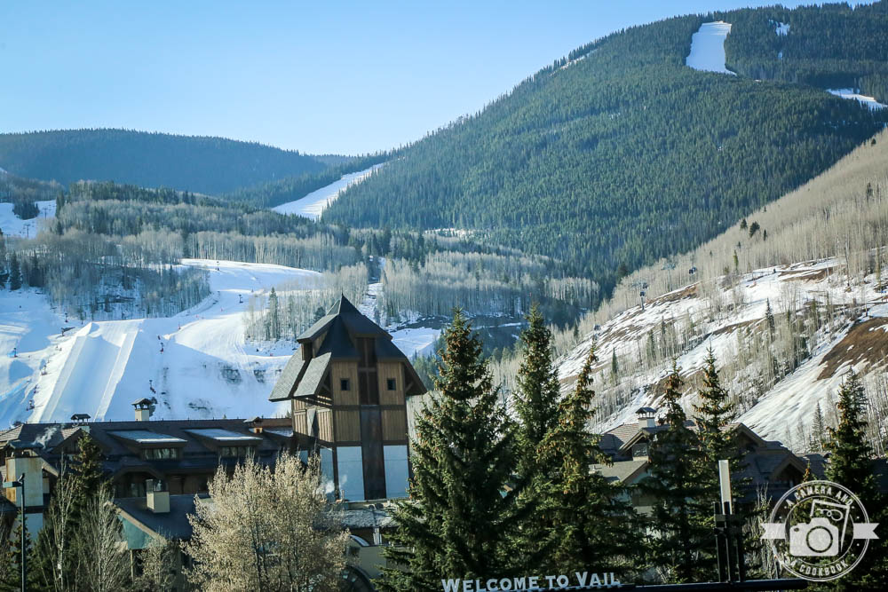
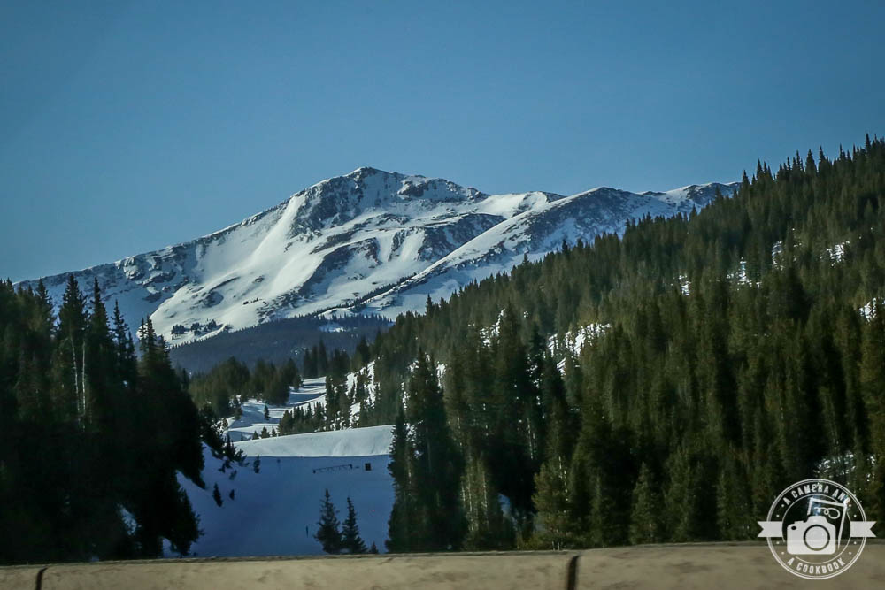
On this last full day of this trip we traveled from Avon through Vail, Colorado passing the beautiful ski slopes. 39°38’26.148″ N 106°24’1.116″ W – (Map #2)
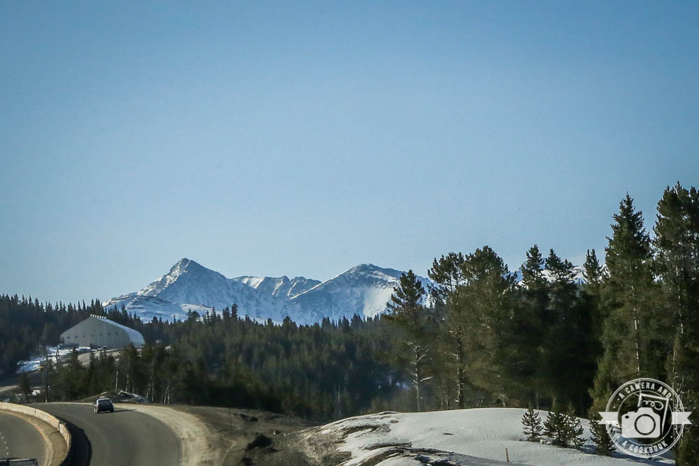
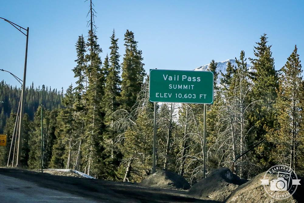
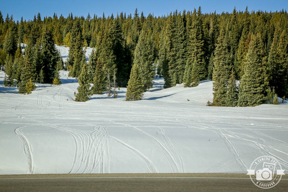
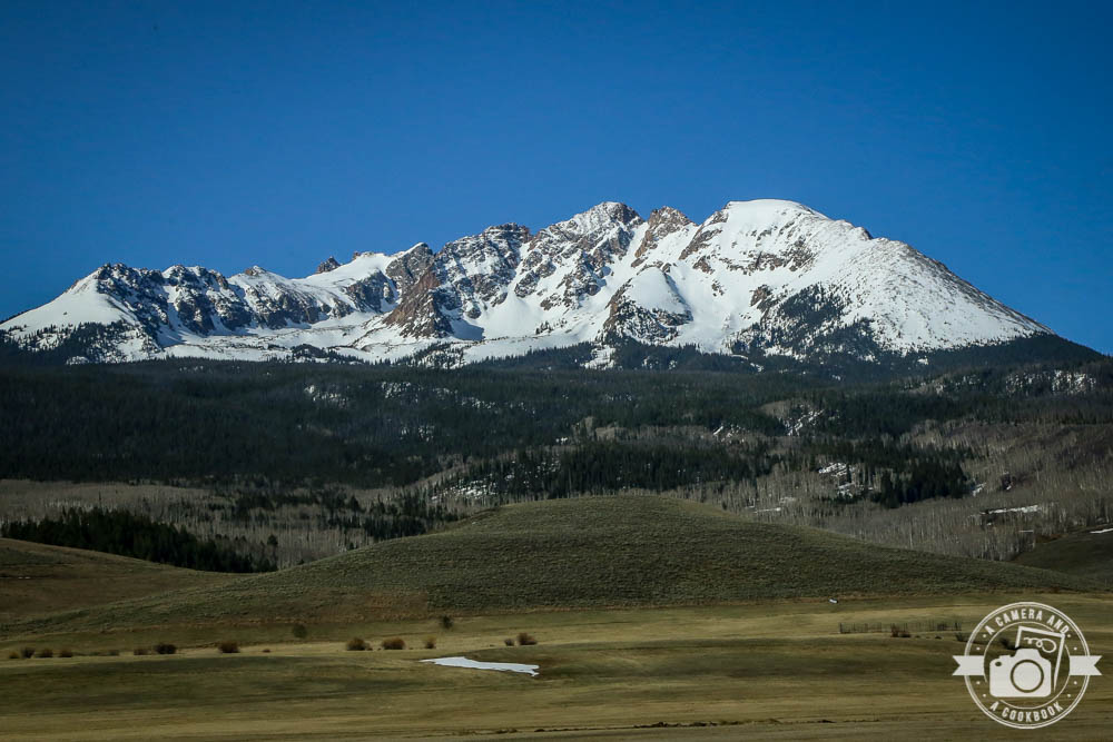
39°34’30.546″ N 106°14’50.478″ W – (Map #3) Being from the south where to closes mountains are a couple hours away and being that I don’t see them covered in snow too often, these views are just too good. I can’t imagine this ever getting old, even if I did live there. The next 3 shots are in this similar location
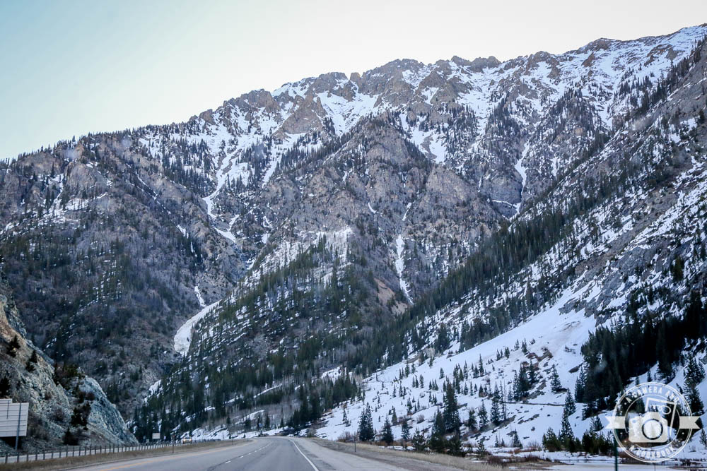
39°30’25.764″ N 106°12’11.652″ W – (Map #4)
Scenic View, East Bound I-70 39°36’9.66″ N 106°5’7.896″ W – (Map #5)
At this point of the trip, we could either continue back to Denver or do something different. If we ever have a chance to mark another state off our list we usually go for it! Since were only a little over 2 hours from Wyoming, that’s what we did. We turned off on to Colorado 9 Highway.
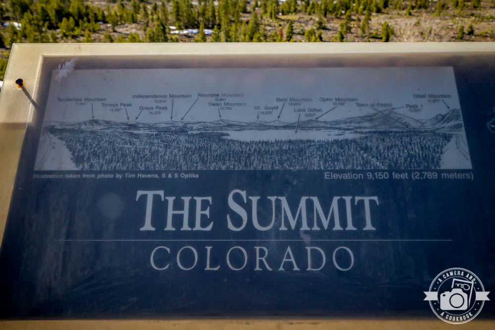
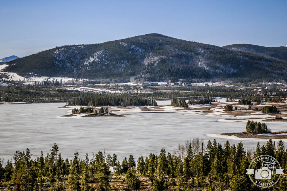
Overlooking a frozen Dillon Reservoir
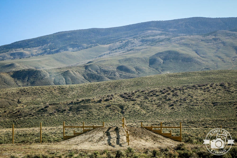
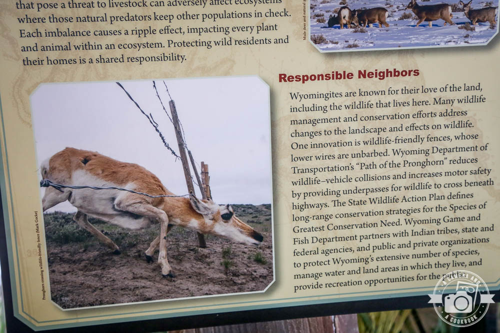
Wildlife fencing 39°45’52.08″ N 106°8’43.56″ W – (Map #6)
Green Mountain Reservoir lies at the northern end of Summit County, Colorado along the Blue River. 39°52’12.186″ N 106°16’10.344″ W – (Map #7)
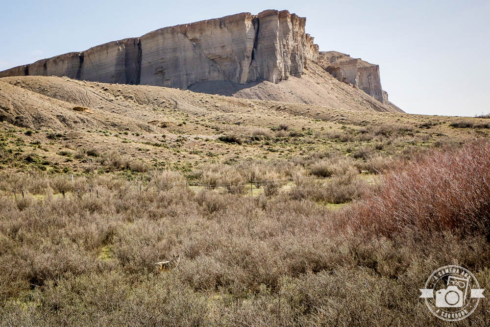
Speaking of wildlife, after passing through Kremmling, Co I noticed the ears sticking up from the brush and realized it was a coyote. Rob pulled over and I was able to get some pics of him. He even turned around when he heard us. 40°3’32.424″ N 106°23’34.614″ W – (Map #8)
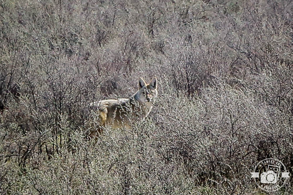
The bigger picture. Do you see him?
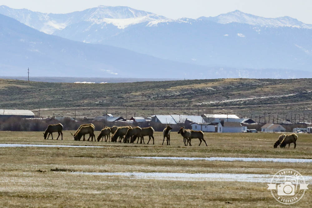
I think these are reindeer aka caribou. Not everyday I see these. 40°31’55.656″ N 106°24’11.328″ W – (Map #9)
Wildlife Watching in North park – We unfortunately didn’t see any moose or other wildlife mentioned below. 40°43’36.75″ N 106°17’10.998″ W – (Map #10)
This helped us to figure out that we would drive to check out Arapaho National Wildlife Refuge. Click here to zoom in on the map.
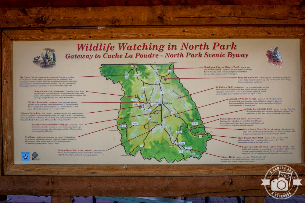
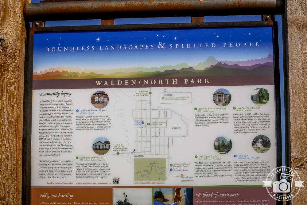
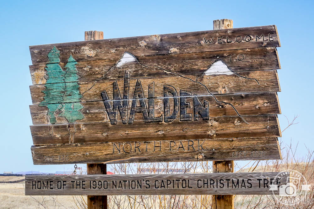
This park is near the town of Walden.
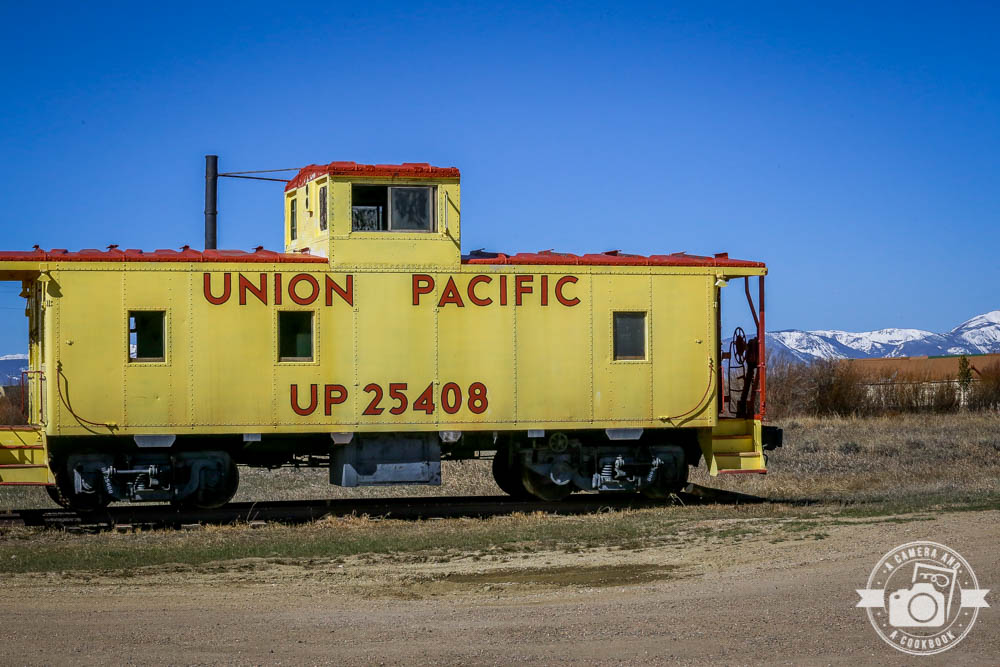
Old Pacific Union train car at the park
This is Highway 14. 40°40’2.208″ N 106°12’27.318″ W – (Map #11)
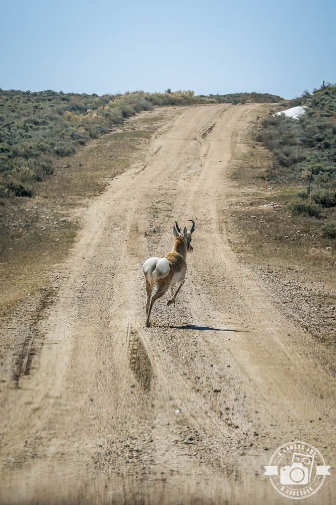
This guy here was freaked out by us. I’m thinking there’s not a lot of cars that come through here and this area is a wildlife refuge so he was fenced in. He started running back and forth near the fence…
And then he ended up right in front of us running as fast as he could.
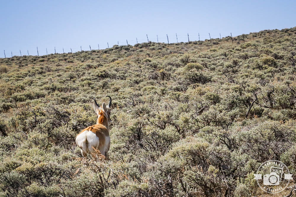
He finally veered back into the brush and settled down.
40°38’36.198″ N 106°12’44.358″ W – (Map #12)
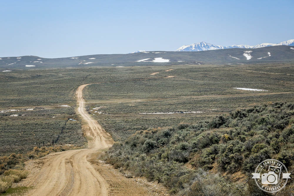
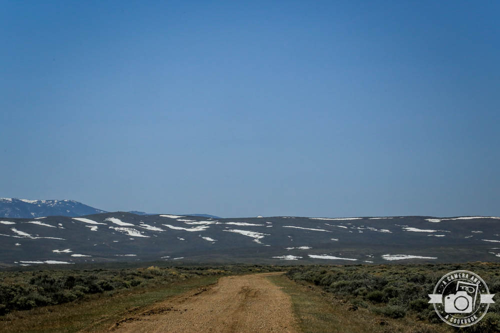
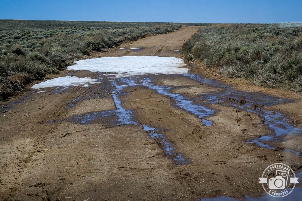
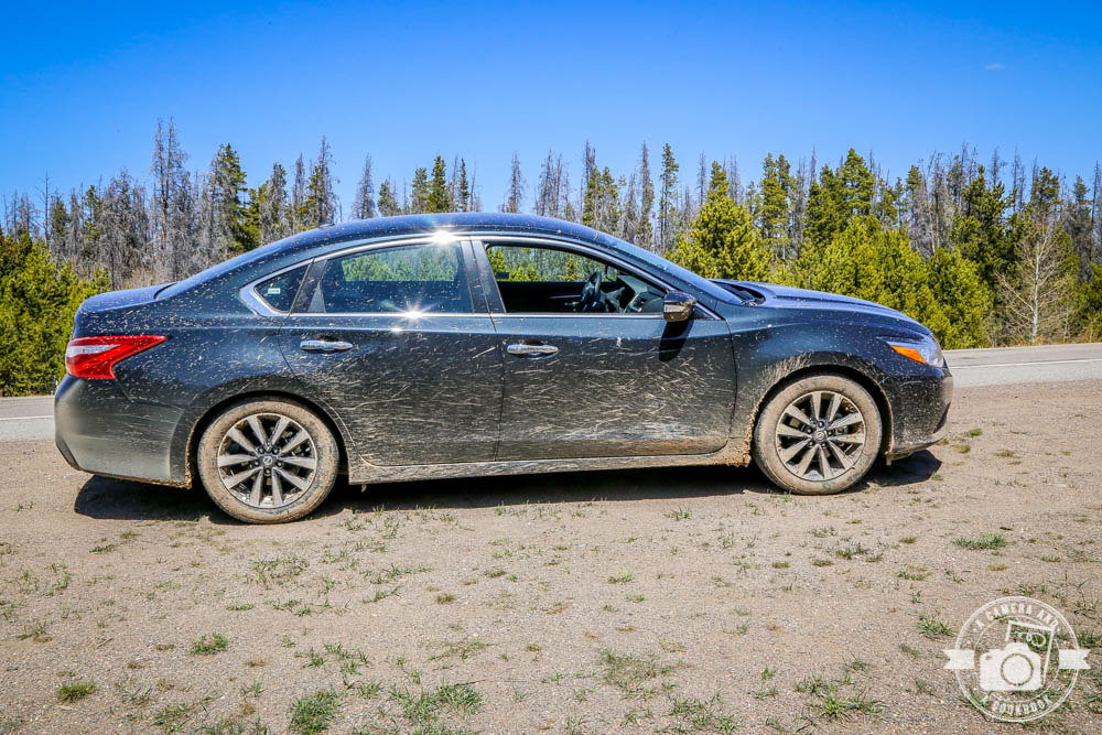
This road is not maintained as you can see below. Snow and mud are not great for most vehicles to traverse. I was so scared we were going to get stuck. We made it, but we continued to come upon patches like this and after going through 2 or 3 patches, we decided we couldn’t and shouldn’t press our luck, so we turned around. That meant going back over the spots we had already made it through! My nerves were shot! 40°36’46.584″ N 106°15’47.04″ W – (Map #13)
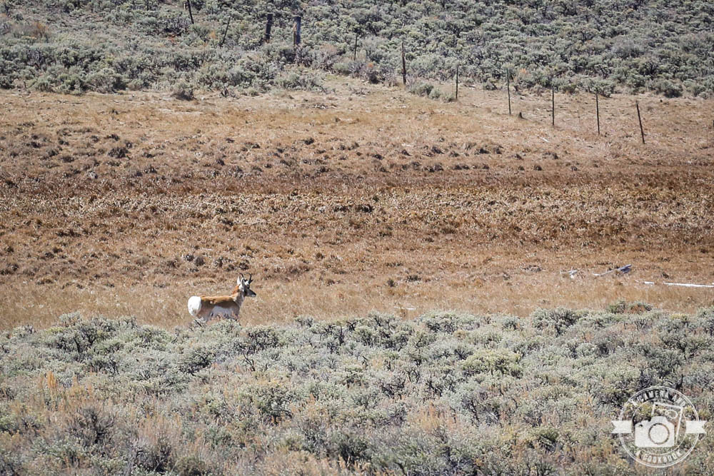
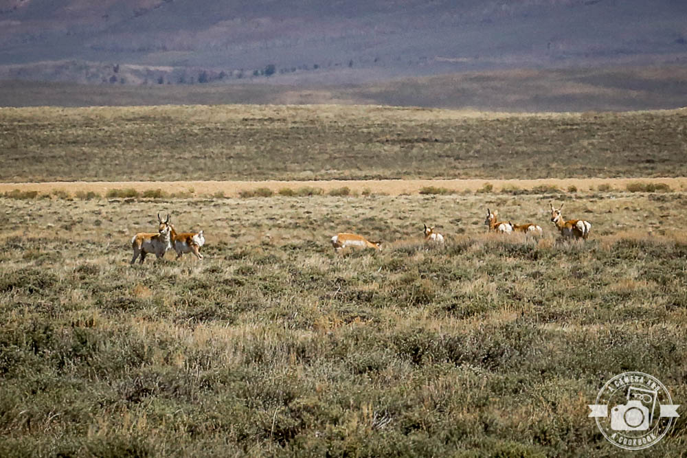
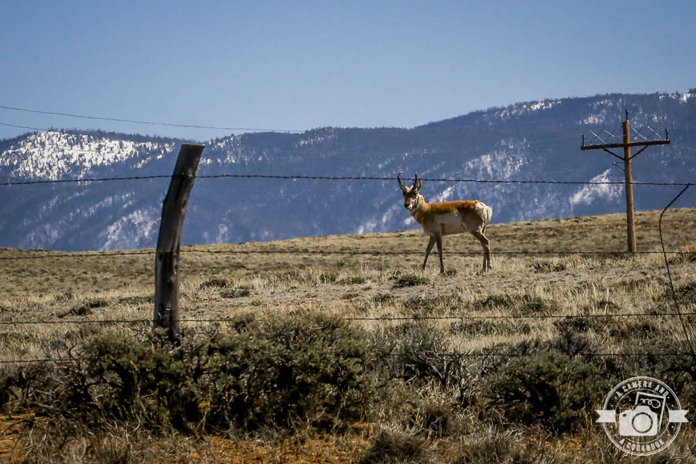
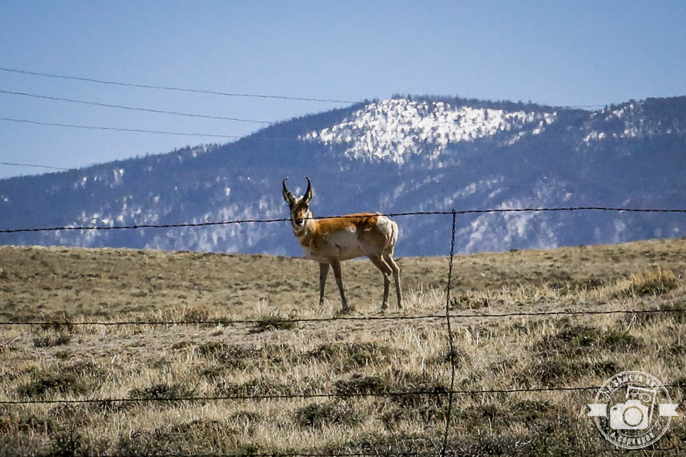
Lots of Pronghorn 40°46’51.54″ N 106°15’20.328″ W – (Map #14)
Rob pulled over so I could get some decent pics of this Pronghorn. 40°47’7.38″ N 106°16’44.052″ W – (Map #15)
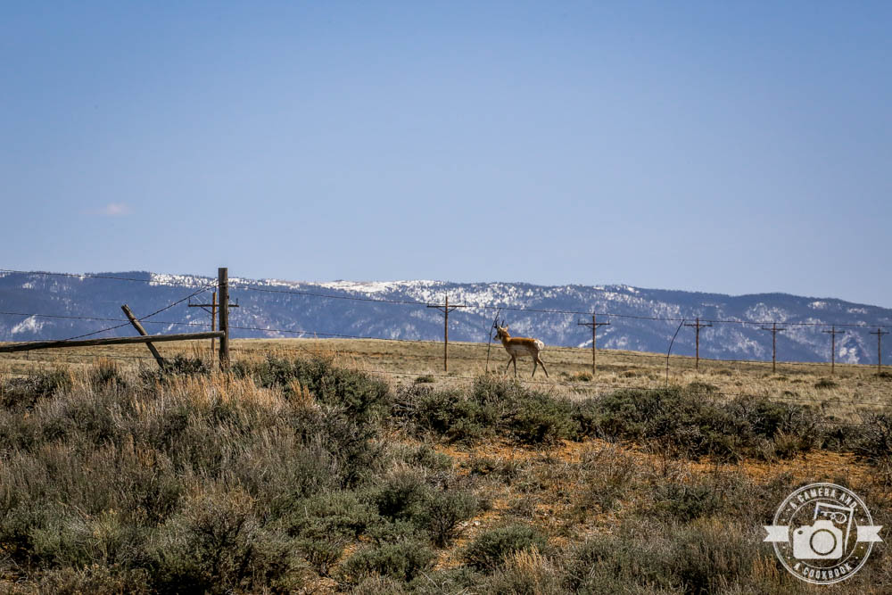
Here’s a good picture of the wildlife friendly fencing. No barbs!
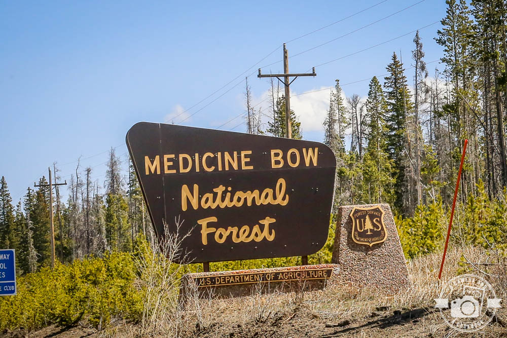
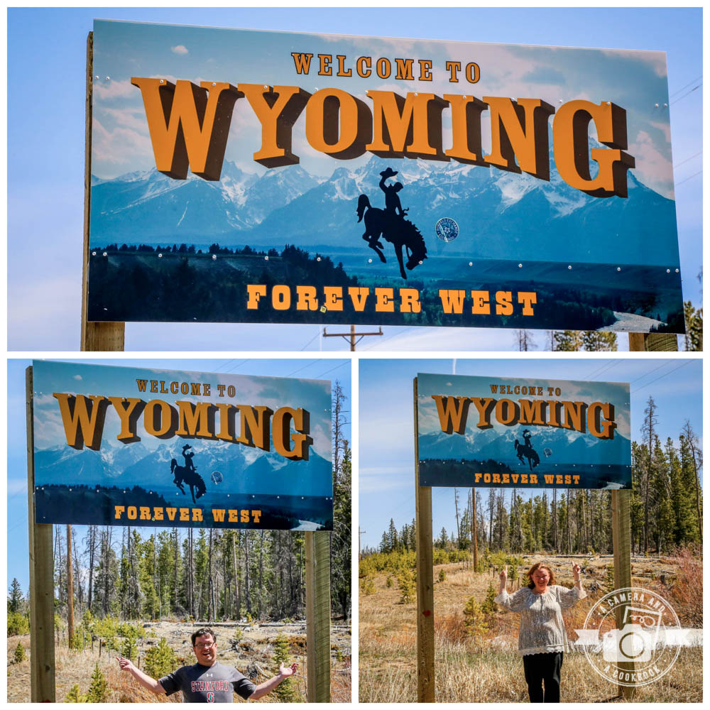
As we continued driving, we entered into Medicine Bow National Forrest just about the same time as entering the great state of Wyoming. 40°58’33.474″ N 106°13’32.466″ W – (Map #16)
Look at how dirty our rental car got from driving through the snow and mud on the unpaved road!
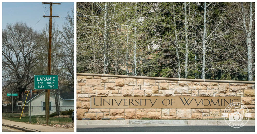
When we got to Laramie, WY, we were hungry and needed to grab a quick bite. We ended up at Almanzana 2615 Grand Ave, Laramie, WY 82070. Decent food at a good price. When I was looking up the address I found this very interesting article>>>Almanza’s helped launder cartel money. Geez, you just never know!
We always enjoy driving through university campuses if we’re near one. Laramie is home to the University of Wyoming Cowboys. 41°18’46.05″ N 105°35’8.118″ W – (Map #17)
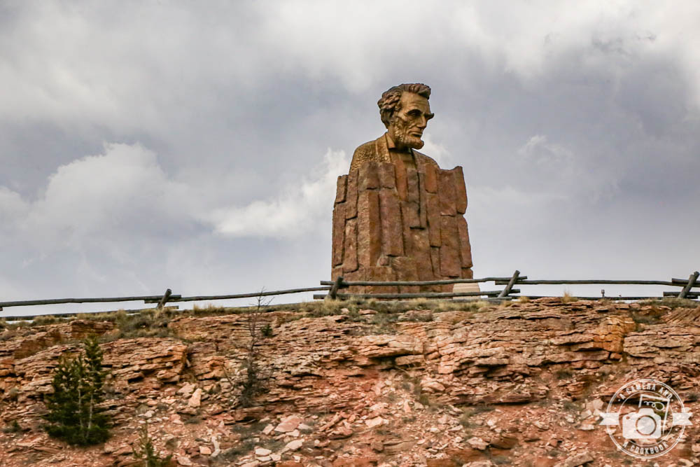
This Lincoln Monument is a bust of Abraham Lincoln by Robert Russin, 12 1⁄2 feet (3.8 m) high and resting on a 30-foot-tall (9.1 m) granite pedestal at the Summit Rest Area on Interstate 80 East of Laramie, Wyoming. In 1969, after Interstate 80 was built, state officials moved the monument from Sherman Hill to become a centerpiece at the Summit Rest Area and Visitor Center between the cities of Cheyenne and Laramie. 41°16’27.978″ N 105°30’31.89″ W – (Map #18)
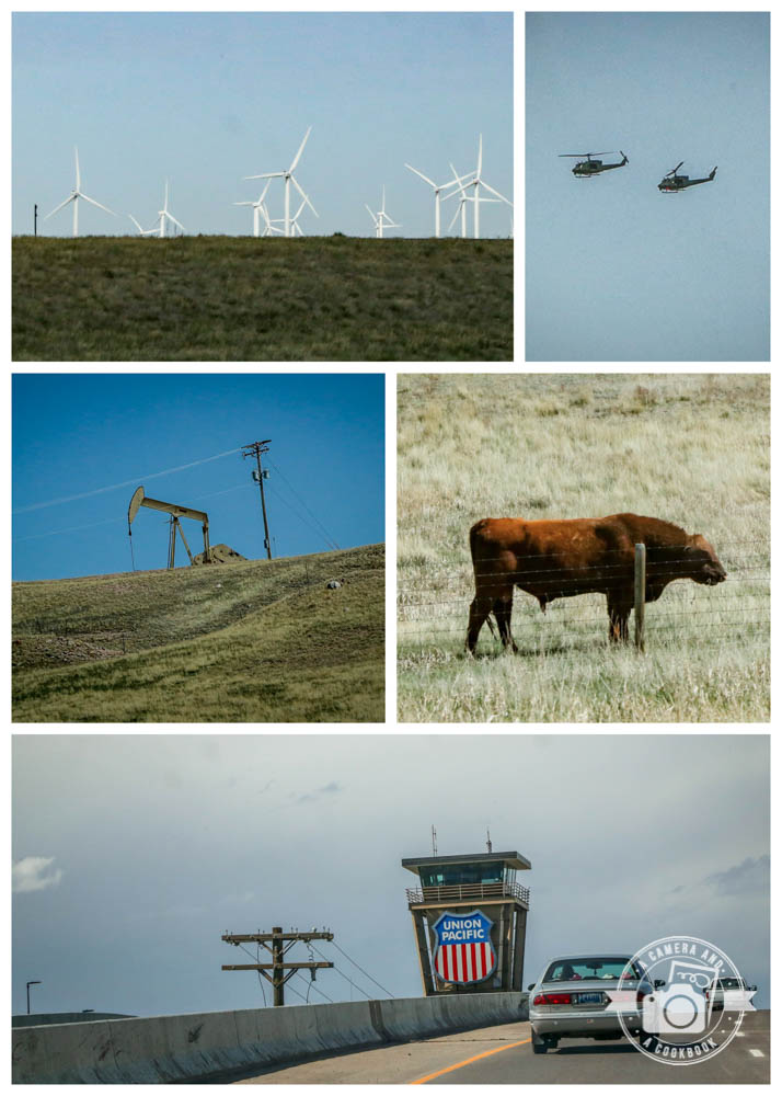
Things we saw as we drove towards Cheyenne, WY.
41°6’47.22″ N 104°51’11.802″ W – (Map #19)
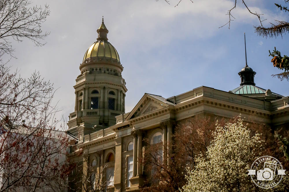
The capitol in Wyoming’s capital city of Cheyenne. 41°8’5.742″ N 104°48’49.962″ W – (Map #20)
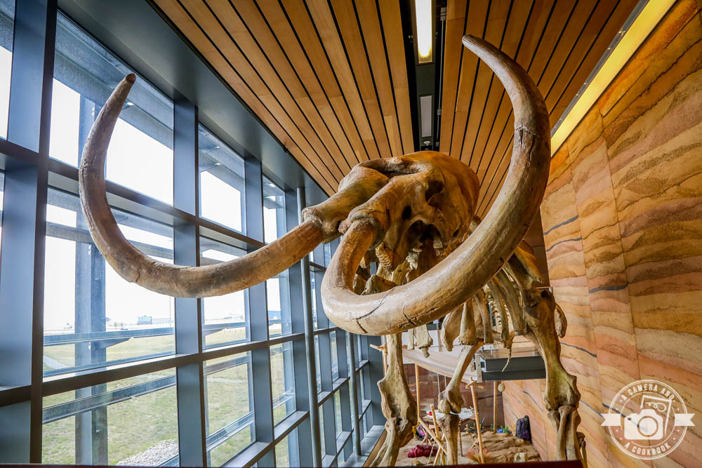
We stopped at the Wyoming Southeast Welcome Center. 41°4’5.802″ N 104°52’3.162″ W – (Map #21)
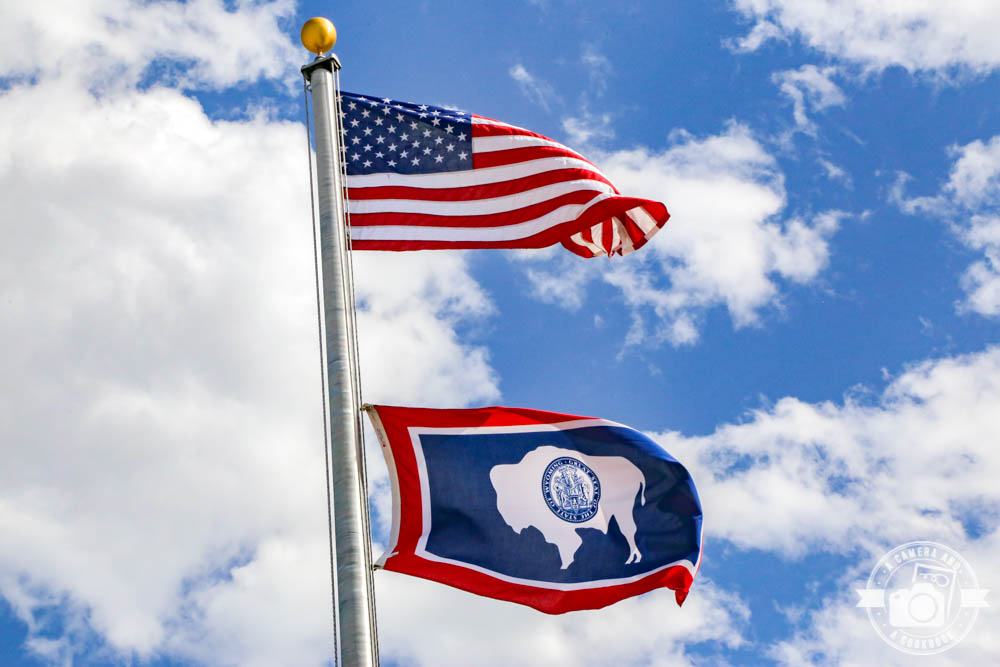
This was a very large center with tons of great info and cool things to look at.
Here’s a good summary of the fencing I mentioned earlier. More info:
– Path of the Pronghorn
– Pronghorn Migration on the Path of the Pronghorn
After exploring a little of Wyoming, we needed to get back over to Denver for our flight out the next day. 41°1’46.26″ N 104°53’58.716″ W – (Map #22)
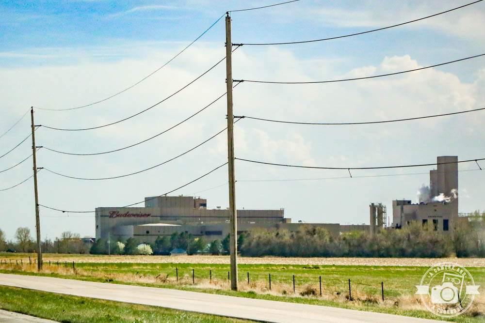
Budweiser plant Fort Collins, CO 40°38’59.472″ N 105°0’3.462″ W – (Map #23)
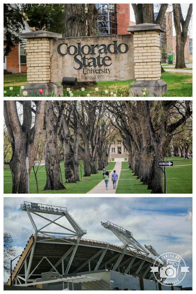
Fort Collins is where you’ll find Colorado State University. We took a quick drive through campus. It was quite trafficky, so we didn’t stay too long.40°34’53.16″ N 105°3’44.436″ W – (Map #24)
39°51’56.508″ N 104°59’15.636″ W – (Map #25)
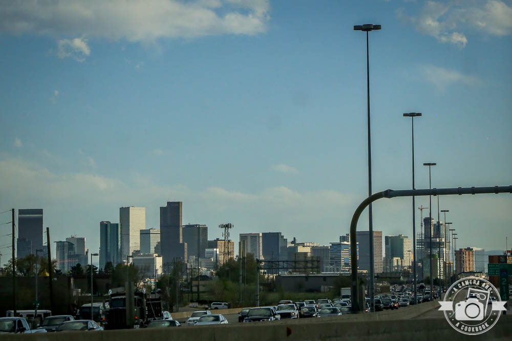
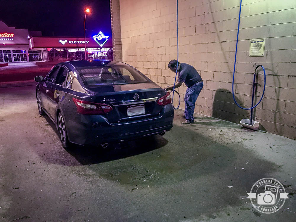
We made it back to Denver for the night. Before going to dinner, we decided to stop at a car wash, because we didn’t want to take the rental car back with it so dirty since we had slogged through mud and snow earlier that day.
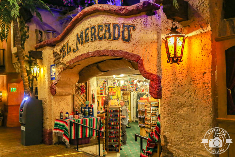
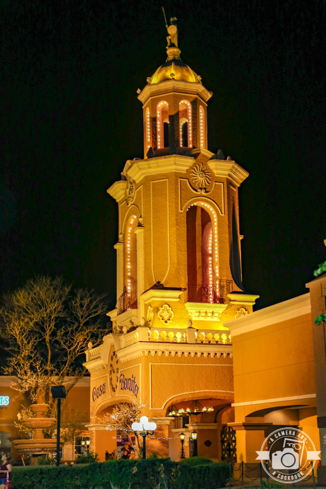
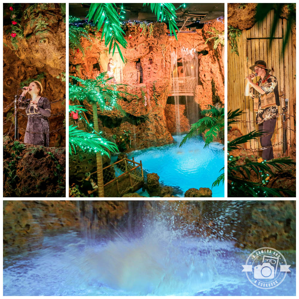
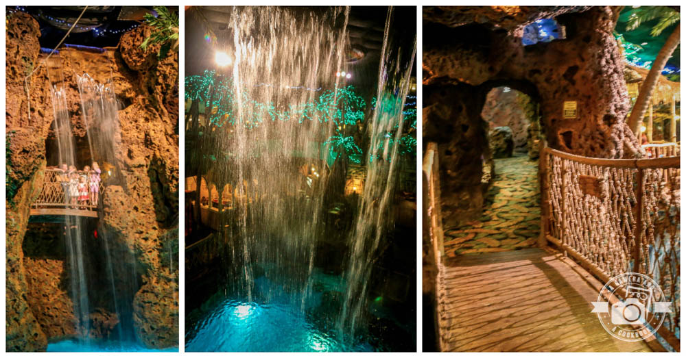
For dinner, we went to the infamous Casa Bonita, where the food is not that great, but the entertainment is so cheesy you have to see it! It seats over 1000 people at a time, and features strolling mariachis and a 30-foot (9.1 m) waterfall with cliff divers. It also has a small puppet theater, a “haunted tunnel” called Black Bart’s Cave, an arcade with a large skee-ball room, and a magic theater. It was designated a historic landmark of the city in March 2015.
Casa Bonita (6715 W Colfax Ave, Lakewood, CO 80214) apparently closed its doors during COVID and has not opened back up.
– Casa Bonita Remains Closed in Denver as Owner Maintains Silence
– Casa Bonita has No Plans to Permanently Close as Restaurants Fear More Restrictions
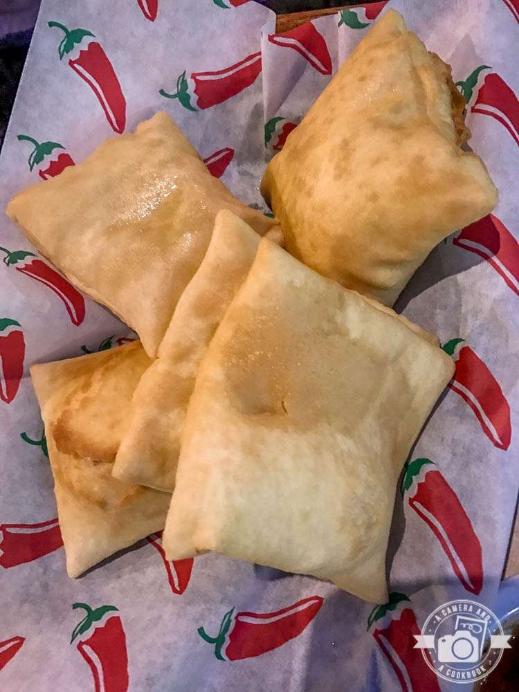
The Sopapillas come with the meal and were probably my favorite part of it!
Stay tuned as continue to churn through photos and trying to remember details from this trip. I am just so excited to have these posts up and done. 1 more for this trip!
If you would like to see more photos from this day>>>Colorado Trip – Day 7
I’ve never been to this area, but it is so beautiful! I’d love to take the girls when they are a bit older! It’s really neat you were able to link the photos to GPS coordinates!
Yes, it is a great trip for teenagers, maybe, when they can appreciate the beauty of the surroundings.
How neat that you got to see so much wildlife! I recognized those Wyoming pictures from our one night in Cheyenne.
Such an interesting place to take pics!