I really hope you’re enjoying all these cruise posts. Travel posts do take quite a long time to put together, but I love having them to look back on and remember our time. Today I’m sharing about our day in Bonaire.
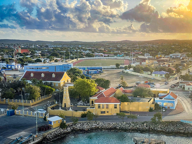
Views from our ship as we wait to get the all clear

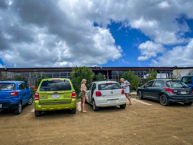
Here’s our truck, which cost us about $90 for the day. Most rental car places in Bonaire have a 2 day minimum, but Caribbean Car Rental just charged for a 2 day rental and allowed us to have it for the 7 hours we were there.
You can always look for the best used car dealership in sour lake texas if you prefer buying a used car instead of renting as this will help you save so much more in the long run. In addition, if you’re planning to trade or sell your old car and are looking for the best used car, visit the used cars Ellicott City MD.
Autozin‘s appeal lies not just in its vast listings but also in its dedication to authenticity. Every vehicle listed feels genuine, making the buying process smooth and reliable.
If you live near Spring Lake and looking for a used car that will save you for a long time in commuting and much expenses then you can check out used car dealership in Spring Lake.


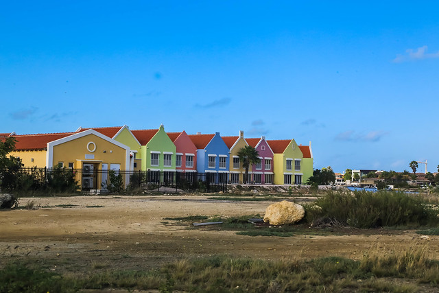
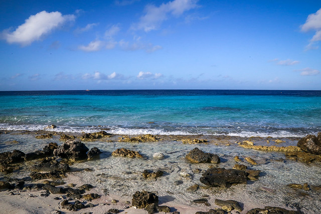
As we drove along EEG Boulevard, we were just in awe once again at the beautiful water. We kept seeing yellow painted rocks that were entries to different spots for swimming, snorkeling, and scuba diving.

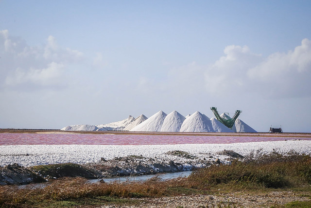
Salt Pyramids
From there we could see these white salt mounds and this weird bridge looking thing. info


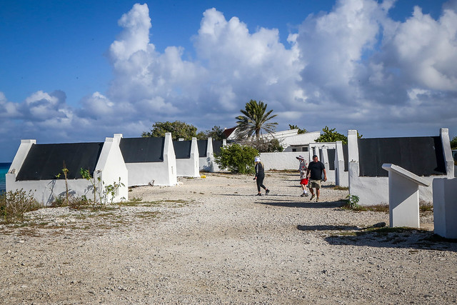
Slave hut ruins


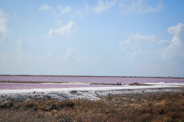
More pink lakes
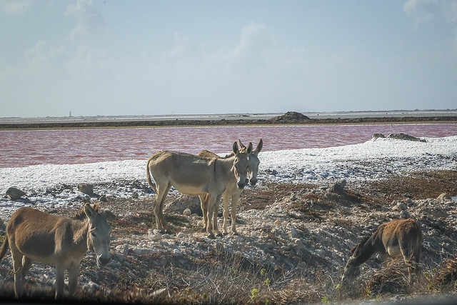
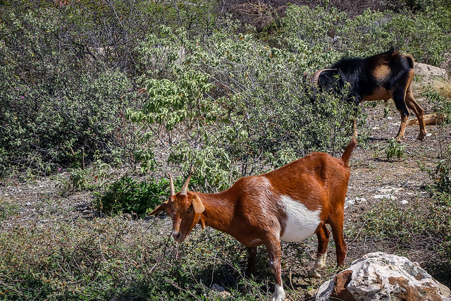
Donkeys used to perform labor in the salt flats back in the day, but once modern transport arrived, the animals were left to fend for themselves.
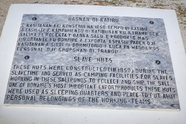
Slave Huts
These huts were constructed in 1850 during the slavery time, and served as camping facilities for slaves working in the salt ponds to collect and ship the salt, one of Bonaire’s most important export product. These huts were used as sleeping quarters and place to put away personal belongings of the working team. Each Friday afternoon the slaves walked seven hours to Rincon to weekend with their families returning each Sunday. info
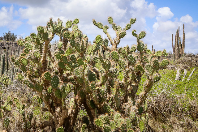
Interesting plant


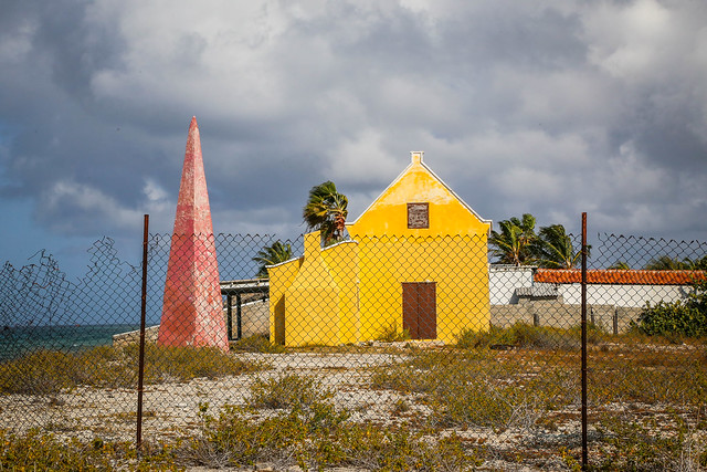
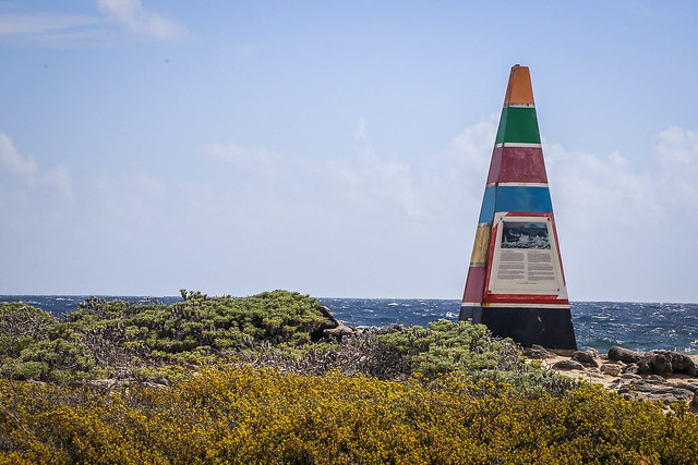
Four Obelisks on Bonaire were used as navigational shore markers to guide ships coming in to load. The obelisks were painted red, white, blue and orange (the colors of the Dutch flag). info
Four 30-foot-high stone obelisks have also been restored. The Dutch used these tapered pillars to guide cargo ships to specific loading areas. Each obelisk was painted in a different color. Red, white and blue represented the colors of the Dutch flag while the fourth one, a bright orange, signified the Royal House of Orange. info


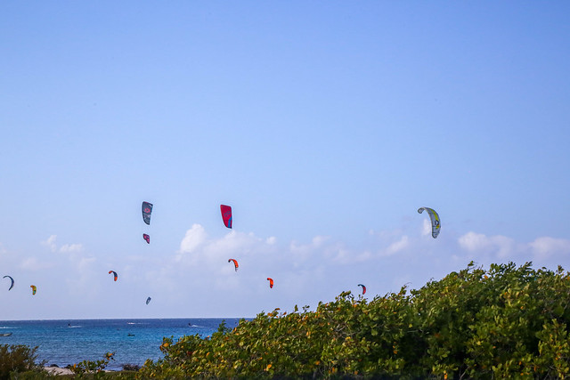
As we drove we would see clusters of kitesurfers.
Willemstoren Lighthouse
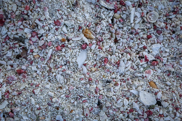
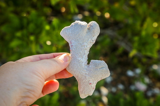
Willemstoren Lighthouse was Bonaire’s first lighthouse dating back to 1837. Locals stop here to collect pieces of driftwood in spectacular shapes and to build pyramids from objects that have washed ashore.


Seru Largu
Next up was Seru Largu (“large hill”). At the top you’ll find a monument which reads in the Papiamentu language as “Kristu Ayera Awe Semper” which means “Christ, Yesterday, Today and Forever”.

The views as your drive up are beautiful and from the top you can see Kralendijk, the capital city, as well as the little island, Klein Bonaire.

Piedra Krus
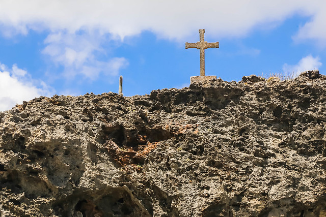
Here you can read about the legend of this cross.

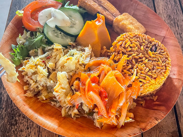
Lunch
As we continued to drive the island, we were getting hungry and needed to think about heading back to the ship. We ended up at Posada Para Mira
Kaya Para Mira, Rincon, Caribbean Netherlands
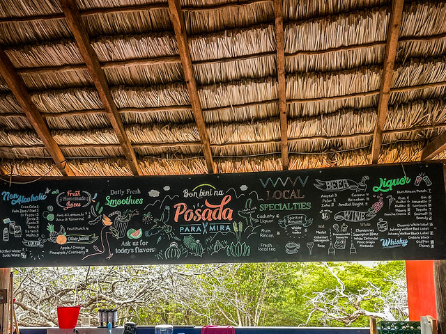


Rob and I had the Salted Codfish. He had the platter.


Look for my next Cruise post, where I share about our day in La Romana, Dominican Republic where we got to hang out with some pretty cool animals.
Other posts from this cruise listed here: Carnival Horizon::March 2022
Another beautiful day in paradise!