On July 4th we rose early to make our way to Windy Ridge Viewpoint at Mount St. Helens. I can’t tell you how hopeful I was that we’d be able to see this mysterious mountain that I’ve visited twice, but only seen for short spurts from a far and saw for literally 30 seconds last time we were at Johnston observatory. The other times we’ve been to Mount St. Helens we weren’t able to get to Windy Ridge because the road was always still closed. (Map)
The day started off quite overcast in Portland as it usually always does, but the forecast showed it was supposed to only be partly sunny. As we continued on our 3 hour drive the sun started showing out and blue skies seem to be taking over. We stopped at several look out points along our drive.
Here’s a bunch of pics from the stops we made a long the way. I highly recommend if you do this trip to Windy Ridge that you stop at as many of these pull off points as possible because they are each unique and have informational signs about the history of what you’re seeing and how its changed over time, mostly since the last major eruption in 1980. And it’s the views our just breathtaking.
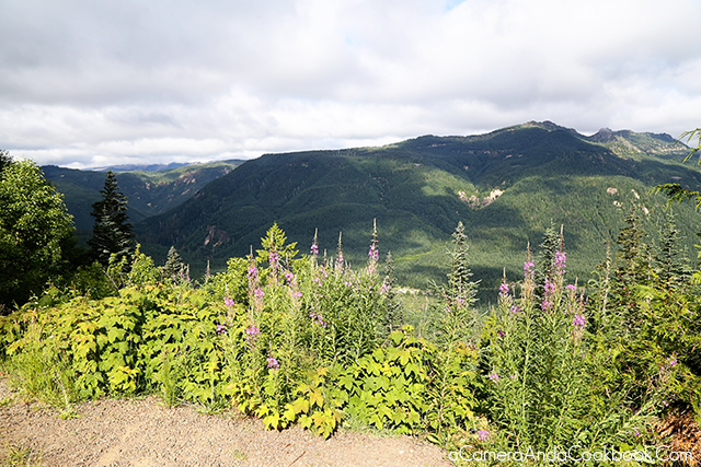
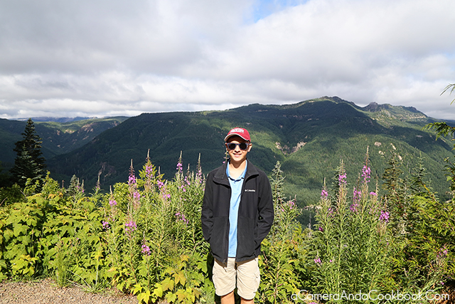
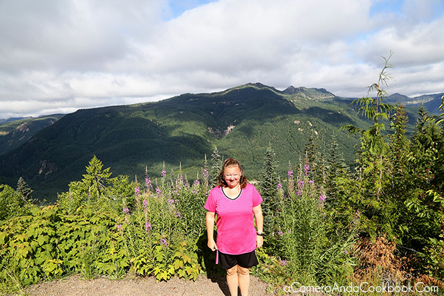
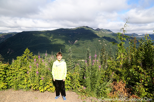
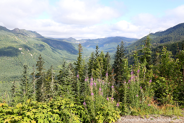
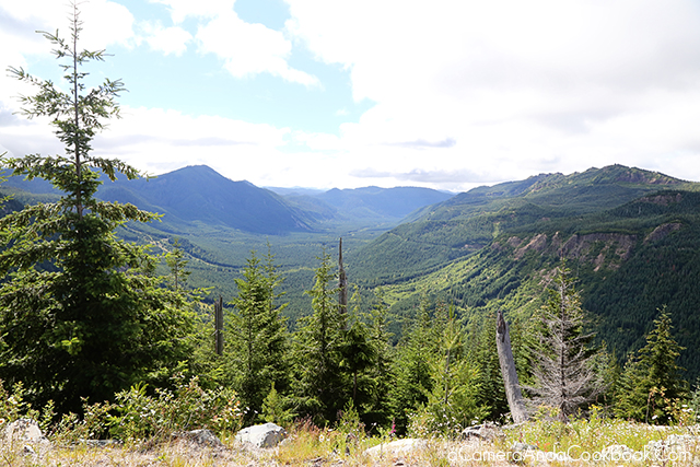
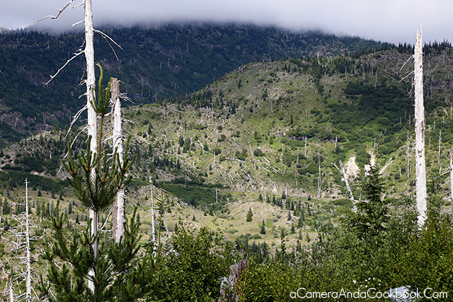
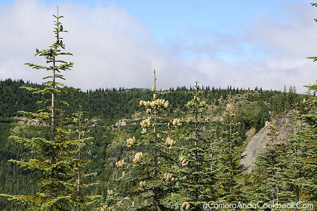
This was a look we got at one point on the drive. The barren trees that still spike the forrest is captivating.
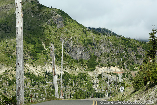

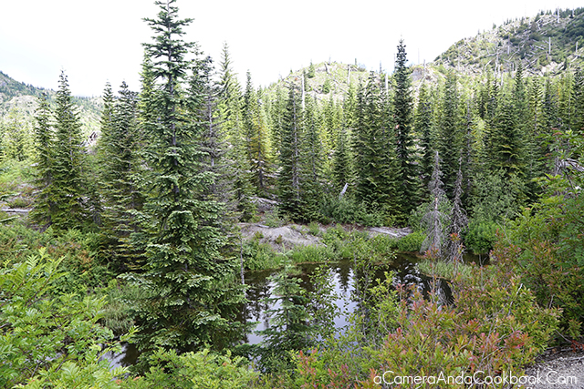
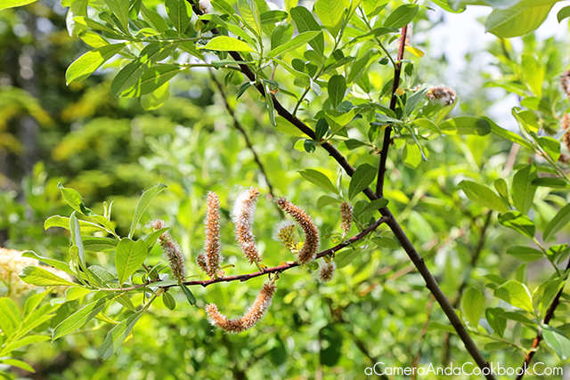
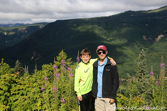
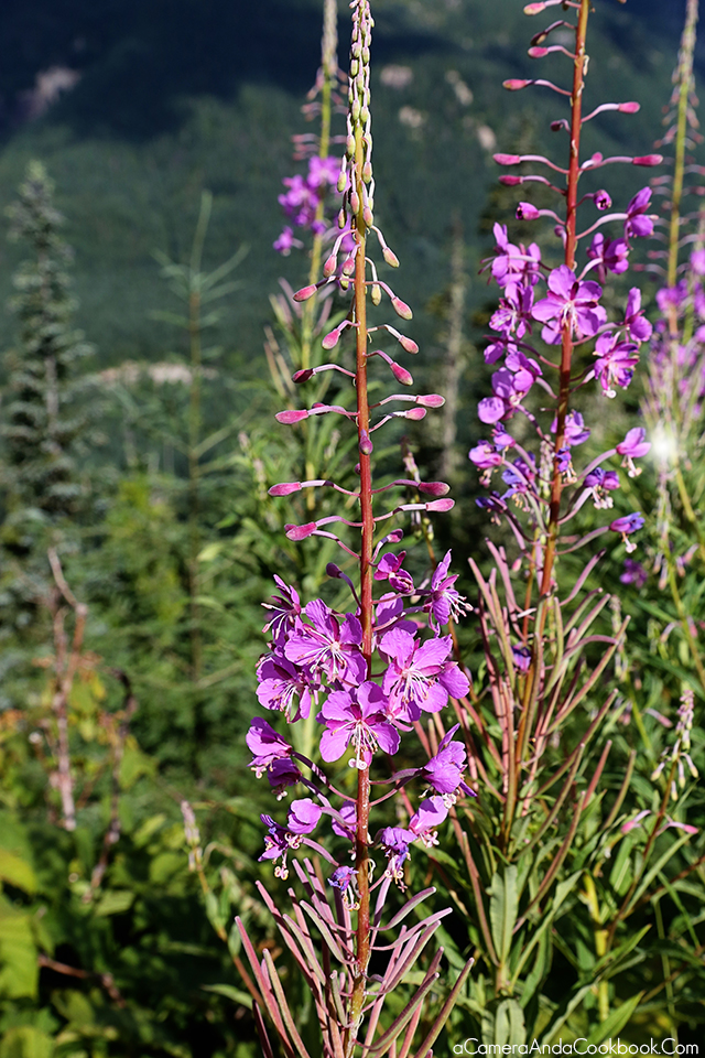
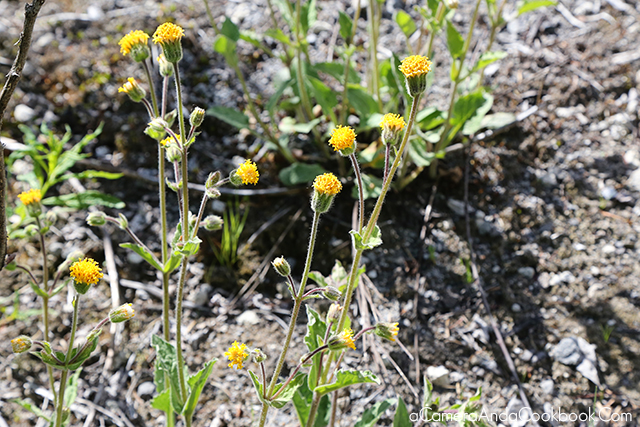
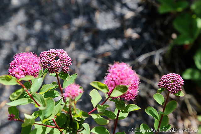
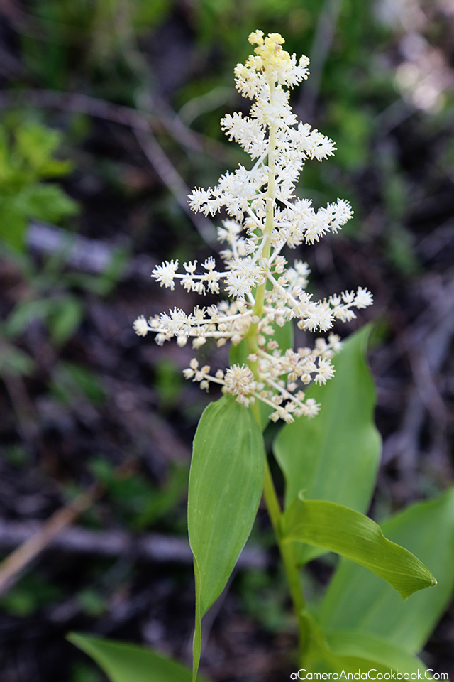
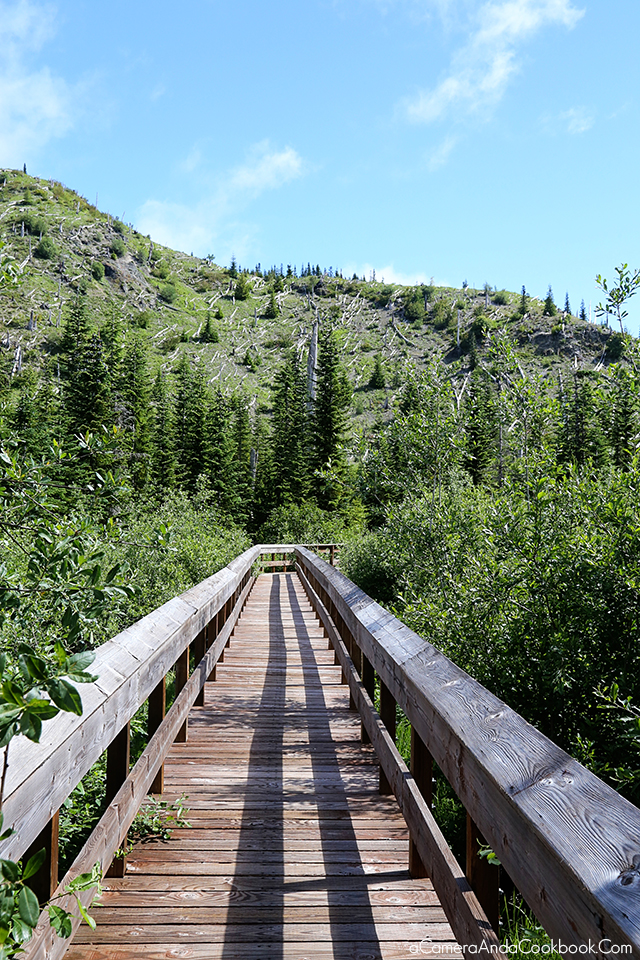
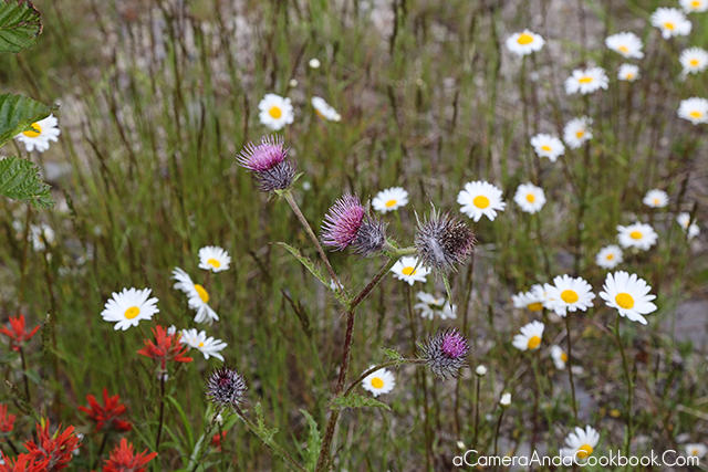
One of the stops along the way included a short hike. I especially enjoyed seeing the flowers as we walked.
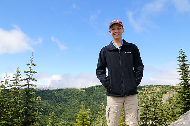
Drew stands in front of Mount St. Helen’s.
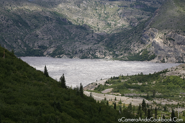
Here’s Spirit Lake and the gray area you see is ash and dead trees.

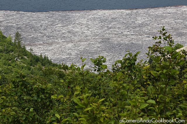
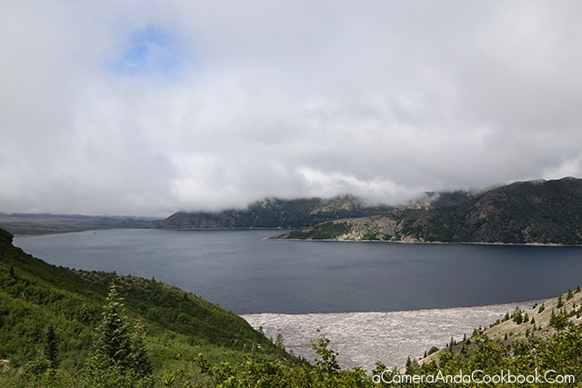
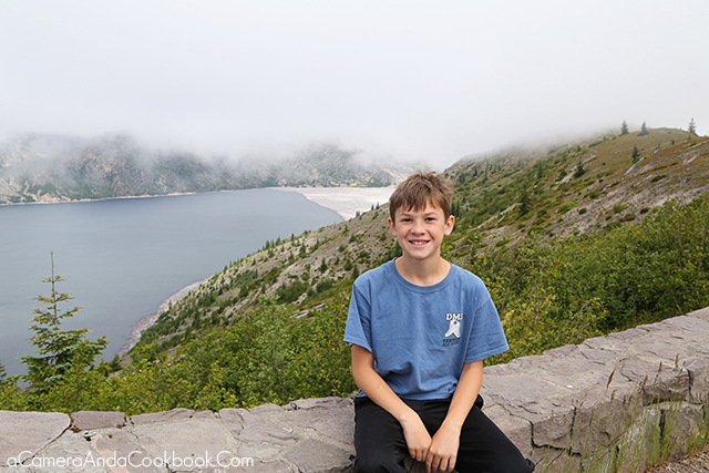
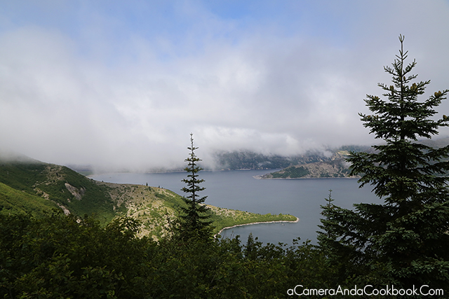
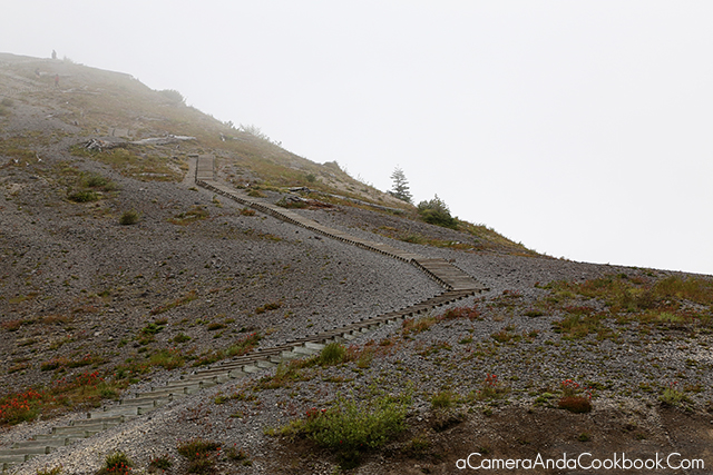
As we got closer, it continued to get foggier and foggier and all hope was lost that we’d get to view the mountain the crater. This is a picture of Windy Ridge and the 368 steps you take up to the top to overlook Spirit Lake and the valley north of the volcano that still debris-filled.
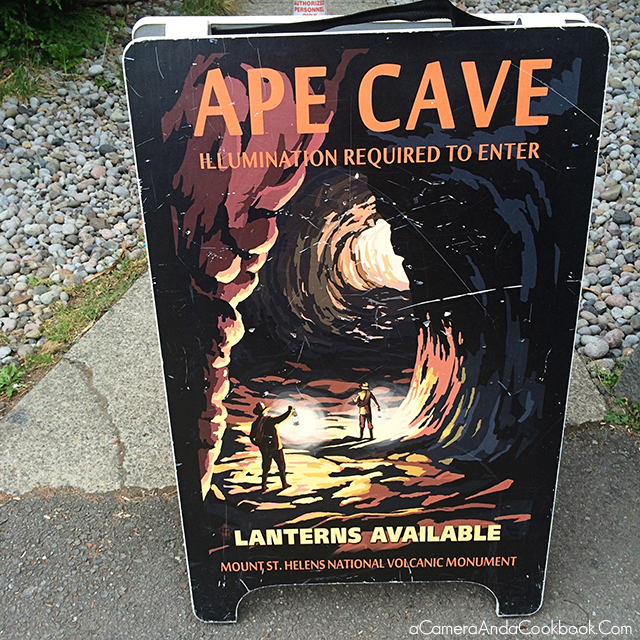
So leaving there disheartened, we decided to check out the map of the area and decided to drive back to the visitor center where we got some great info about surrounding attractions. We plunged on towards Ape Cave (map)
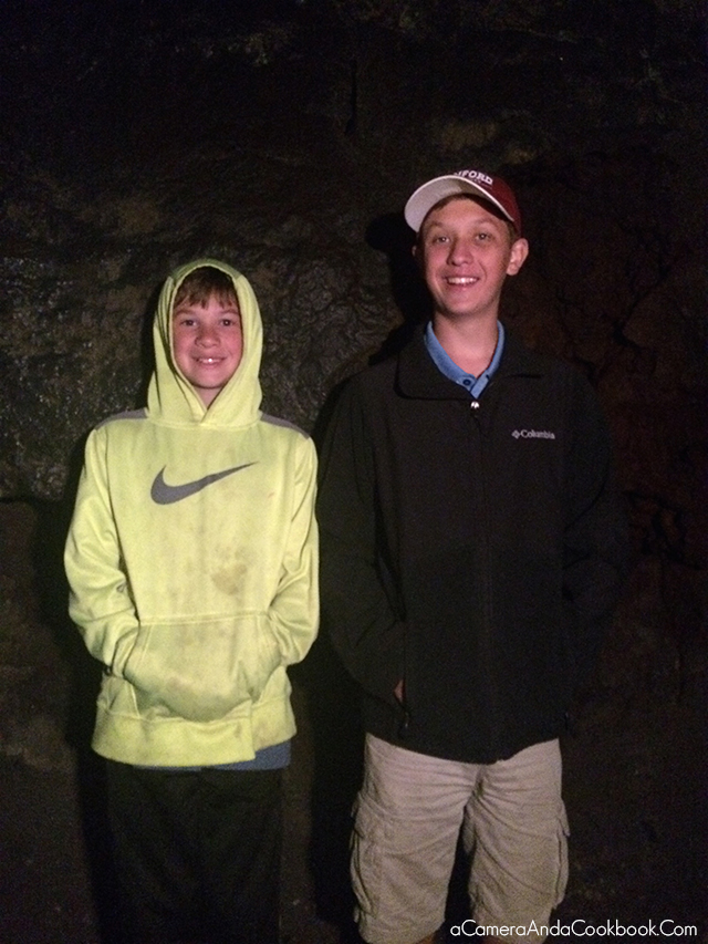
Rob entering the darkness
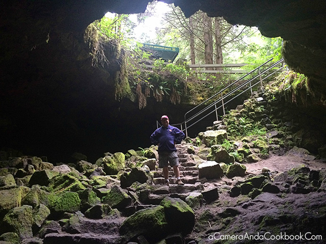
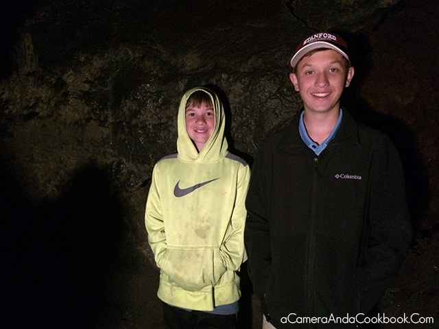
Inside the cave
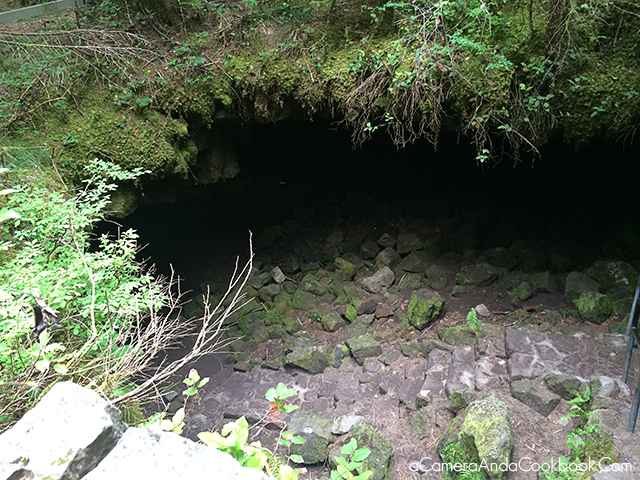
Coming out of the cave
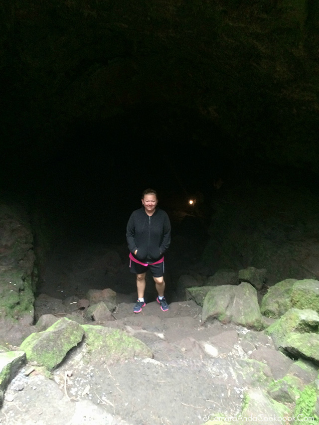
Another look back down before hiking back to the car
Every time we got back in the car, we were constantly on the lookout for views of the volcano. Anytime the clouds parted we found a place to pull over so we could take pics. It made my heart happy.
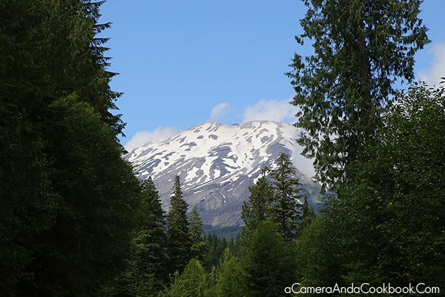
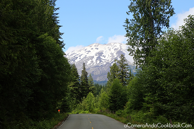
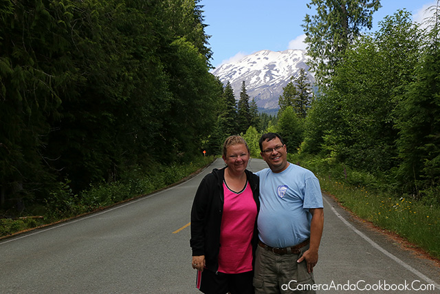

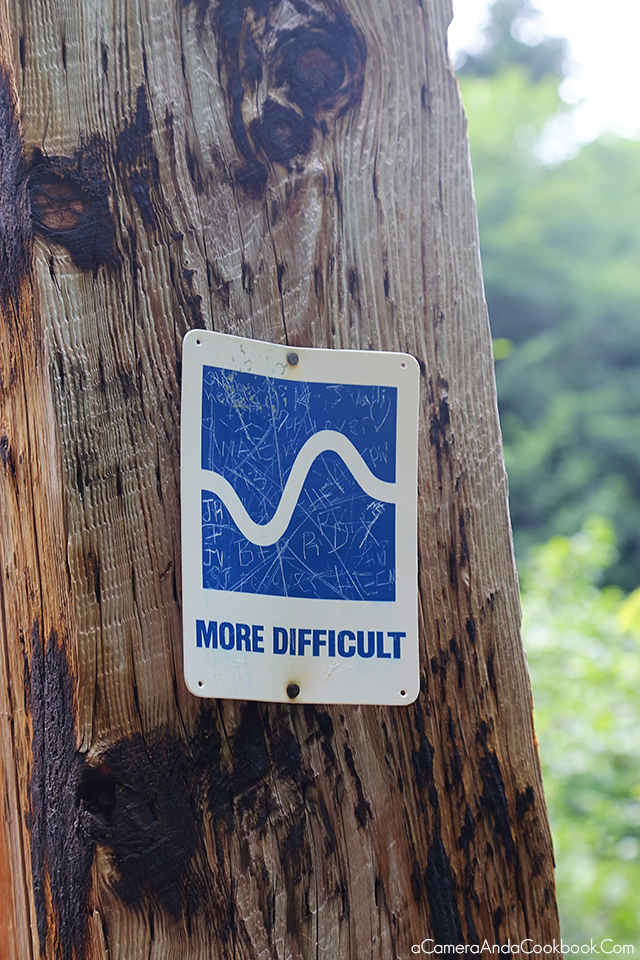
Next we drove over to Lava Canyon, which I highly recommend. There’s 3 different trails you can take. We did the 2nd most difficult.
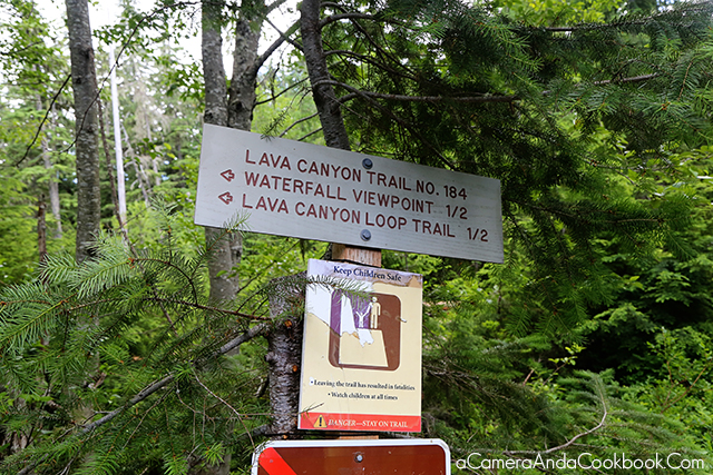
The water flushes through at unbelievable speeds. This sign is NO JOKE!
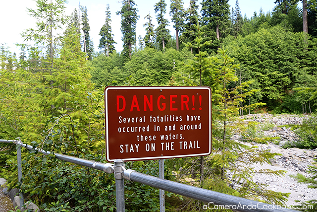
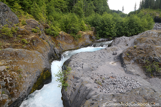
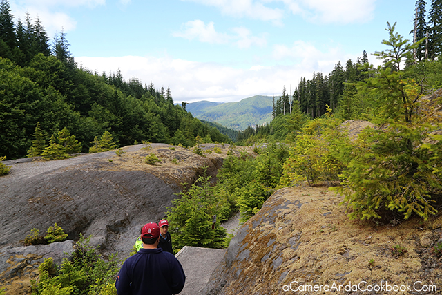
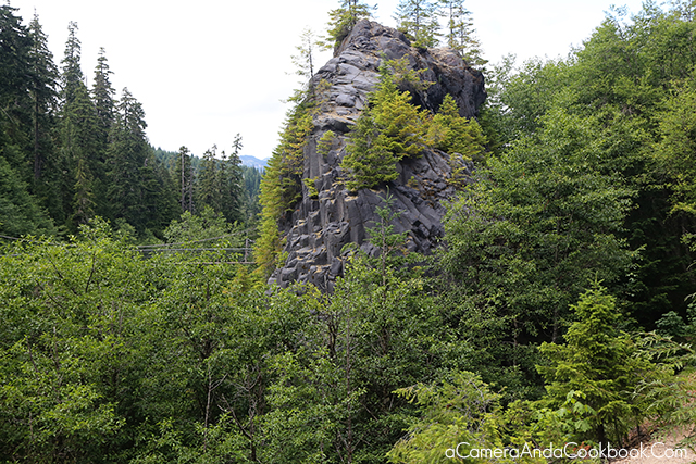
The trail we took was supposed to be a loop, so we wondered why we kept seeing people coming the opposite direction. Then we saw this and realized many folks got to the bridge and turned around!
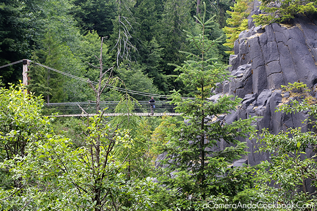
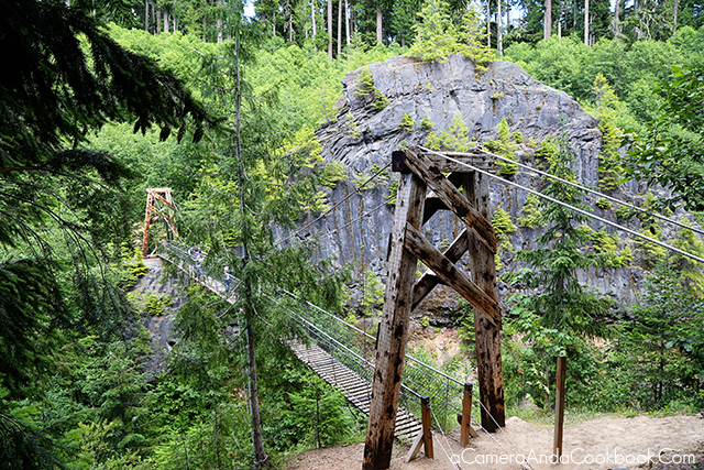
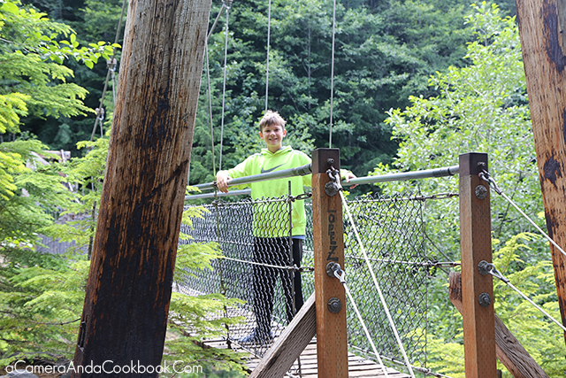
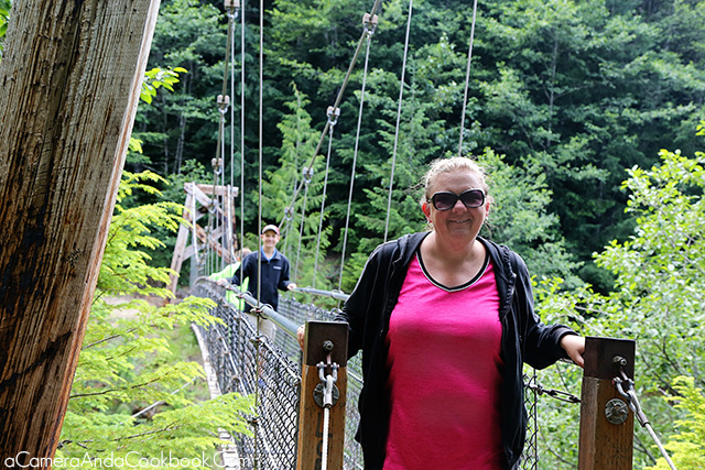
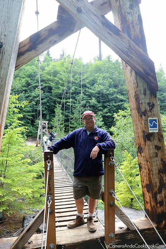
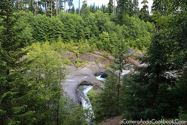
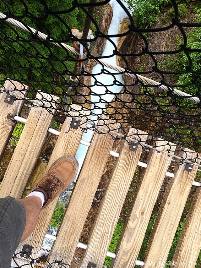
“Don’t look down!”
As we were driving away from the Lava Canyon we saw a pull off that had a sign with a camera icon, which we took to mean it must be a great place for photographing. I was really glad we stopped as this was the view we got after walking a little ways from the road.
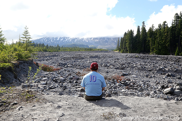
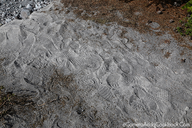
While this side is not the side that blew out from the 1980 eruption, you can still see that the ground is covered in ash, rock, and debris.
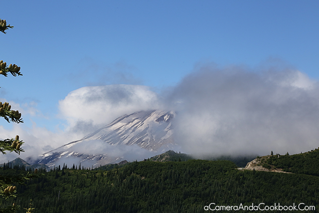
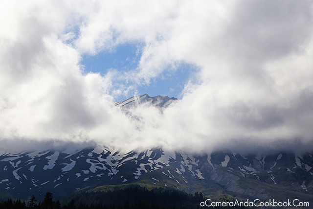
The clouds were playing with us as they would let us get a peek of the peak!
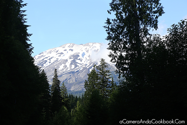
From there we drove to our dinner location, which was McMenamin’s Brew Pub.
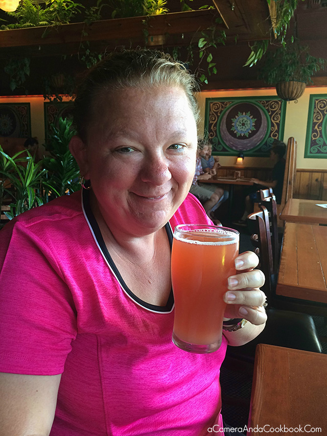
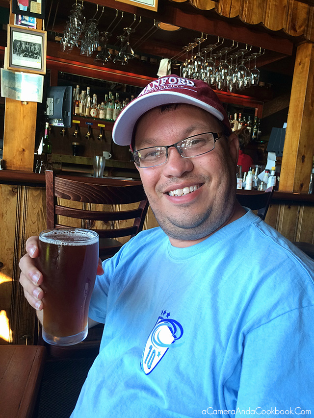
After dinner, we decided to forgo fireworks that night and instead just go back to the hotel and swim and rest.
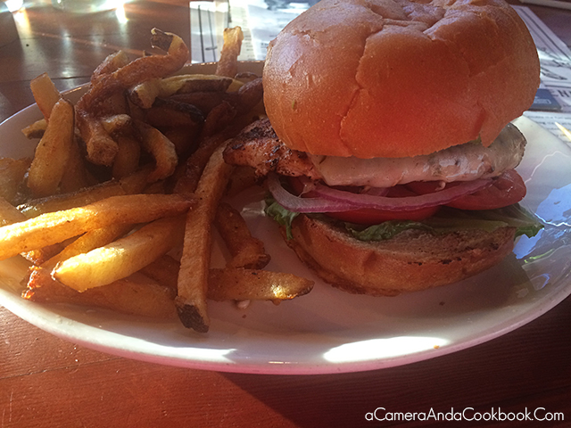
Here’s a quick video of a couple clips I took through the day.
Want to know more about our West Coast Trip? See all the posts from our West Coast trip as well as the full itinerary and even a travel booklet for the whole family to enjoy along the way!


Pingback: Four Fun and Unique Day Trips for Families - A Camera and A Cookbook